
McLeod County is a county in the U.S. state of Minnesota. At the 2020 census, the population was 36,771. Its county seat is Glencoe.

Winchester is a town in Litchfield County, Connecticut, United States. The population was 10,224 at the 2020 census. The city of Winsted is located in Winchester. The town is part of the Northwest Hills Planning Region.

Winsted is a city in McLeod County, Minnesota, United States. The population was 2,240 at the 2020 census.
Winsted Township is a township in McLeod County, Minnesota, United States. The population was 987 at the 2000 census.
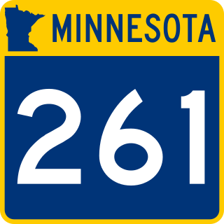
State Highway 261 was a 16.004-mile-long (25.756 km) highway in McLeod County, Minnesota. It ran from Winsted to U.S. Highway 212 east of Glencoe. It was turned back to McLeod County maintenance in 1996, becoming County State-aid Highway 1.
Markham is an unincorporated community in Colvin Township, Saint Louis County, Minnesota, United States.
Angora is an unincorporated community in Angora Township, Saint Louis County, Minnesota, United States.
Shermans Corner is a populated place in Angora Township, Saint Louis County, Minnesota, United States.
Shaw is an unincorporated community in Saint Louis County, Minnesota, United States; located on Saint Louis County Road 15, near Saint Louis County Road 49.
Bear River is an unincorporated community in Itasca and Saint Louis counties in the U.S. state of Minnesota.
Fernando is an unincorporated community in Round Grove Township, McLeod County, Minnesota, United States, near Stewart and Brownton. The community is located near the junction of McLeod County Roads 7 and 17.
Heatwole is an unincorporated community in Lynn Township, McLeod County, Minnesota, United States, southwest of Hutchinson. The community is located along McLeod County Road 18 near County 7.

The 1908 United States presidential election in Minnesota took place on November 3, 1908 as part of the 1908 United States presidential election. State voters chose 11 electors to the Electoral College, which selected the president and vice president.
Oster is an unincorporated community in Carver and Wright Counties, Minnesota, United States.
Sumter is an unincorporated community in Sumter Township, McLeod County, Minnesota, United States. The community is located along Highway 212 at Leaf Avenue near Brownton and Glencoe.
South Silver Lake is an unincorporated community in Rich Valley Township, McLeod County, Minnesota, United States, near Silver Lake along Iris Road.
Komensky is an unincorporated community in Hutchinson Township, McLeod County, Minnesota, United States, near Hutchinson. The community is located along McLeod County Road 79 near McLeod County Road 4. Bear Creek flows through the community.

Luce Line Trail is a 74.9-mile (120.5 km), shared-use path in Minnesota, United States, that stretches from Cosmos to Minneapolis. The trail system was built after 1995 when the Luce Line Railroad was abandoned west of Interstate 494. The previous line extended 104 miles (167 km) to Gluek. The multi-use trail has varying surface features, though it is primarily made up of crushed limestone or aggregate base, and the section from Cosmos to Cedar Mills is undeveloped, as are the sections from just west of Hutchinson to Winsted and east of Plymouth. The trail is maintained by the Minnesota Department of Natural Resources west of Vicksburg Lane, where it is named Luce Line State Trail. East of Vicksburg Lane, it is maintained by the Three Rivers Park District and named Luce Line Regional Trail.

Winsted Municipal Airport is a public general aviation airport serving Winsted and the surrounding area in the US state of Minnesota. Operated by the municipal government of Winsted, the airport was opened in 1964. It has a single turf runway, several hangars, and an arrival/departure building. Throughout its history, Winsted Municipal Airport has hosted airshows and the Winstock Country Music Festival. Winsted's city council approved repairs to the runway in 2018.


