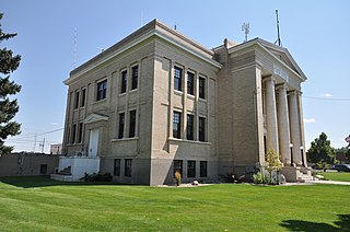
Platte County is a county located in the U.S. state of Wyoming. As of the 2020 United States Census, the population was 8,605. Its county seat is Wheatland.
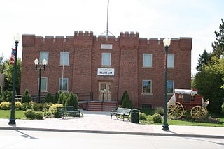
Niobrara County is a county in the U.S. state of Wyoming. As of the 2020 United States Census, the population was 2,467, making it the least populous county in Wyoming. Its county seat is Lusk. Its eastern boundary abuts the west lines of the states of Nebraska and South Dakota.
Hasson Heights is a census-designated place (CDP) in Venango County, Pennsylvania, United States. The population was 1,351 at the 2010 census.
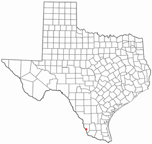
Falcon Mesa is a census-designated place (CDP) in Zapata County, Texas, United States. The population was 405 at the 2010 census.

Hawk Springs is a census-designated place (CDP) in Goshen County, Wyoming, United States. The population was 45 at the 2010 census.

Huntley is a census-designated place (CDP) in Goshen County, Wyoming, United States. The population was 30 according to the 2010 census.

Fox Farm-College is a census-designated place (CDP) in Laramie County, Wyoming, United States. It is part of the Cheyenne, Wyoming Metropolitan Statistical Area. The population was 3,876 people at the 2020 census.

Ranchettes is a census-designated place (CDP) in Laramie County, Wyoming, United States. It is part of the Cheyenne, Wyoming Metropolitan Statistical Area. The population was 5,798 at the 2010 census.

South Greeley is a census-designated place (CDP) in Laramie County, Wyoming, United States. It is part of the Cheyenne, Wyoming Metropolitan Statistical Area. The population was 4,733 at the 2020 census. The population was 4,217 at the 2010 census.

Casper Mountain is a census-designated place (CDP) on Casper Mountain in Natrona County, Wyoming, United States. It is part of the Casper, Wyoming Metropolitan Statistical Area. The population was 401 at the 2010 census.
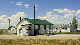
Powder River is a census-designated place (CDP) in Natrona County, Wyoming, United States. It is part of the Casper, Wyoming Metropolitan Statistical Area. The population was 30 in the 2020 census and 44 in the 2010 census.

Chugcreek is a census-designated place (CDP) in Platte County, Wyoming, United States. The population was 156 at the 2010 census.
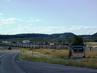
Guernsey is a town in Platte County, Wyoming, United States. The population was 1,147 at the 2010 census.

Lakeview North is a census-designated place (CDP) in Platte County, Wyoming, United States. The population was 84 at the 2010 census.

Westview Circle is a census-designated place (CDP) in Platte County, Wyoming, United States. The population was 52 at the 2010 census.

Wheatland is a town in and the county seat of Platte County in southeastern Wyoming, United States. The population was 3,627 at the 2010 census.

Y-O Ranch is a census-designated place (CDP) in Platte County, Wyoming, United States. The population was 195 at the 2010 census.

McKinnon is a census-designated place (CDP) in Sweetwater County, Wyoming, United States. The population was 60 at the 2010 census.

Hill View Heights is a census-designated place (CDP) in Weston County, Wyoming, United States. The population was 170 at the 2010 census.

Osage is a census-designated place (CDP) in Weston County, Wyoming, United States. The population was 151 at the 2020 census.


