
Washakie County is a county in the U.S. state of Wyoming. As of the 2020 United States Census, the population was 7,685. Its county seat is Worland.

Platte County is a county located in the U.S. state of Wyoming. As of the 2020 United States Census, the population was 8,605. Its county seat is Wheatland.
Converse County is a county located in the U.S. state of Wyoming. As of the 2020 United States Census, the population was 13,751. Its county seat is Douglas.

Albany County is a county in the U.S. state of Wyoming. As of the 2020 United States Census, the population was 37,066. Its county seat is Laramie, the site of the University of Wyoming. Its south border lies on the northern Colorado state line.

Saratoga is a town in Carbon County, Wyoming, United States. The population was 1,690 at the 2010 census.

Harding is a city in Morrison County, Minnesota, United States. The population was 123 at the 2020 census.

Ravenwood is a city in eastern Nodaway County, Missouri, United States, near the Platte River. The population was 439 at the 2020 census.

Creston is a village in Platte County, Nebraska, United States. The population was 203 at the 2010 census.

Platte Woods is a city in Platte County, Missouri and is part of the Kansas City metropolitan area within the United States. The population was 394 as of the 2020 census.

Overfield Township is a township in Wyoming County, Pennsylvania, United States. The population was 1,427 at the 2020 census. Lake Winola is located in Overfield Township.
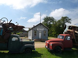
The Town of Wyoming is a town located in Iowa County, Wisconsin, United States. The population was 317 at the 2020 census.
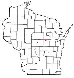
Wyoming is a town in Waupaca County, Wisconsin, United States. The population was 285 at the 2000 census. The ghost town of Granite City was located in the town.

Rock River is a town in Albany County, Wyoming, United States. As of the 2010 census, the town population was 245.

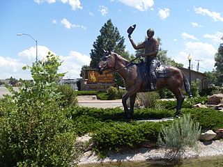
Baggs is a town in Carbon County, Wyoming, United States. The population was 411 at the 2020 census. Baggs is home to the Outlaw Stop, a branch of the Little Snake River Museum, which is headquartered in Savery.
Glenrock is a town in Converse County, Wyoming, United States. The population was 2,576 at the 2010 census.

Fort Laramie is a town in Goshen County, Wyoming, United States. The population was 206 at the 2020 census. The town is named after historic Fort Laramie, an important stop on the Oregon, California and Mormon trails, as well as a staging point for various military excursions and treaty signings. The old fort was located south of town across the North Platte River, at the mouth of the Laramie River.
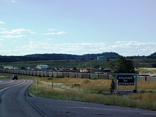
Guernsey is a town in Platte County, Wyoming, United States. The population was 1,147 at the 2010 census.
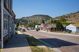
Hartville is a town in Platte County, Wyoming, United States. The population was 62 at the 2010 census.

Westview Circle is a census-designated place (CDP) in Platte County, Wyoming, United States. The population was 52 at the 2010 census.

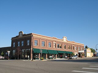
Wheatland is a town in and the county seat of Platte County in southeastern Wyoming, United States. The population was 3,627 at the 2010 census.


