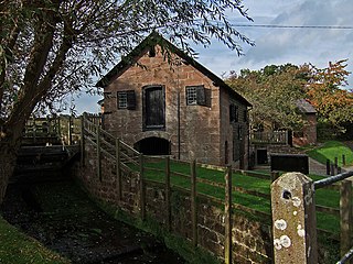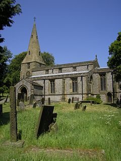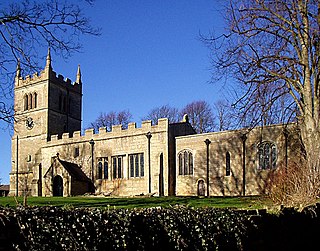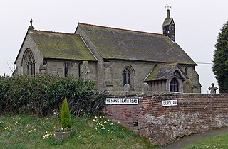
Church Stretton is a market town in Shropshire, England, 13 miles (21 km) south of Shrewsbury and 15 miles (24 km) north of Ludlow. The population in 2011 was 4,671.

Matlock Bath is a village and civil parish in Derbyshire, England. It lies in the Peak District, south of Matlock on the main A6 road, and approximately halfway between Buxton and Derby. The population of the civil parish at the 2011 census was 753. Originally built at the head of a dead-end dirt road running along the valley of the River Derwent from Matlock, the settlement developed in the 19th century as residential and a spa town which remains a tourist destination. The steep hillside restricts development with most buildings on one side of the valley and only footbridges across the river. The road was upgraded, becoming a through-way, now designated A6, avoiding the previous coaching road approach to Matlock from Cromford over very steep hills near to the Riber plateau area.

Stretton is a village and civil parish in the county of Rutland, England, just off the A1 Great North Road. The population of the civil parish was 770 at the 2001 census, including Thistleton and increasing to 1,260 at the 2011 census. The ecclesiastical parish of Stretton shares the same boundaries and is part of the Rutland deanery of the diocese of Peterborough.

All Stretton is a village and a now separate civil parish in Shropshire, England. Much of it is covered by a Conservation Area.

Peak Forest is a small village and civil parish on the main road the (A623) from Chapel-en-le-Frith to Chesterfield in Derbyshire. The population of the civil parish at the 2011 census was 335.
Stretton is a large village and civil parish in Staffordshire, England. It is situated on the northern outskirts of Burton upon Trent and is effectively a suburb of that town. The name is Old English and means Street Town and comes it being on the Roman road called Ryknild Street. The population of the parish at the 2001 census was 8,355, increasing to 8,611 at the 2011 Census.
Egginton is a village and civil parish in the local government district of South Derbyshire, England. The population of the civil parish as of the 2011 census was 574.

Ashover is a village and civil parish in the English county of Derbyshire. It is in the North East Derbyshire district of the county. The population of the civil parish taken at the 2011 Census was 1,905. It sits in a valley, not far from the town of Matlock and the Peak District national park.

Unstone is a village and civil parish in the English county of Derbyshire, situated in the North East Derbyshire administrative district approximately 1 mile (1.6 km) south east of Dronfield. It is also close to the town of Chesterfield. The River Drone and the Midland Main Line railway run through the village, which has a population of over 1,000, increasing to 1,876 and including Apperknowle at the time of the 2011 Census.

Stretton en le Field is a small village and civil parish in the North West Leicestershire district of Leicestershire, England, about 7 miles/11 km south-west of Ashby de la Zouch, historically an exclave of Derbyshire. According to the 2001 census, the parish had a population of 36. At the 2011 census the population remained under 100 and so was included in the civil parish of Chilcote. Stretton Bridge carries the A444 road across the River Mease, which forms the northern parish boundary. It is among the Thankful Villages, suffering no Great War fatalities in 1914–1918: eleven men went from the village to fight and all returned.

Barton is a village and civil parish in the unitary authority of Cheshire West and Chester and the ceremonial county of Cheshire, England. The village is located near the Welsh border, about twelve miles south of Chester and only about eight miles east of Wrexham in Wales.

Stretton is a hamlet and civil parish in the unitary authority of Cheshire West and Chester and the ceremonial county of Cheshire, England. The small, rural parish also includes the hamlet of Wetreins Green. It is near the Welsh border, approximately thirteen miles south of Chester and about eight miles east of Wrexham in Wales.

Heath is a village in the North East Derbyshire district of the English county of Derbyshire.

Taddington is a village and civil parish in Derbyshire, England. The population of the civil parish, together with neighbouring Blackwell in the Peak and Brushfield parishes, as taken at the 2011 census, was 457. It lies over 1,100 feet (340 m) above sea level, on the former A6 road between Buxton and Bakewell, in the Derbyshire Dales district. To the east, the A6 runs through Taddington Dale, while Taddington Moor lies to the west.

Newhall is a suburban settlement located in Swadlincote, South Derbyshire, England. As of the 2011 census it had a population of 776. The village of Stanton is nearby.

Castle Gresley is a village and civil parish about 1.75 miles (2.82 km) southwest of the centre of Swadlincote in South Derbyshire, England. The population was 1,566 at the 2001 Census increasing to 1,799 at the 2011 Census. The village is about 1 mile (1.6 km) west of the village of Church Gresley.

Overseal is a village and civil parish in South Derbyshire, 3 miles (4.8 km) south of Swadlincote, 4.5 miles (7.2 km) west of Ashby-de-la-Zouch and 12.5 miles (20.1 km) due south-southwest of Derby. The population of the civil parish at the 2011 census was 2,450. Situated within the National Forest area, it is one of the southernmost settlements in Derbyshire, close to the border with Leicestershire.

Scarcliffe is a village and civil parish in the Bolsover district of Derbyshire, England. It is sometimes called Scarcliffe with Palterton. The population of the parish at the 2001 UK Census was 5,211, increasing to 5,288 at the 2011 Census.

Chilcote is a village and civil parish in the North West Leicestershire district of Leicestershire, England. Until 1897 it was in Derbyshire. The parish had a population of 108 according to the 2001 census, including Stretton-en-le-Field and increasing to 200 at the 2011 census.

Stretton-on-Fosse is a village in the Stratford District in Warwickshire, England. It is situated between the towns of Moreton-in-Marsh and Shipston-on-Stour. The village is situated along the ancient Fosse Way road which runs from Exeter in Devon to Lincoln in Lincolnshire. The road bypasses the village to the east and is now the modern-day A439 road. The village is close to the Gloucestershire and Warwickshire border. While the lower ground of the village is heavy clay the upper parts are composed of sand and shingle. During commercial extraction of sand important graves of the Roman-British and Anglo-Saxon periods were uncovered and interesting skeletons and personal belongings were unearthed. These burials were the result of internecine warfare between local tribal factions.


