Petting is a municipality in the district Traunstein, Bavaria, Germany. It is located on the shore of the Waginger See, a diluvial lake.

Schwandorf is a town on the river Naab in the Upper Palatinate, Bavaria, Germany, which is the seat of the Schwandorf district.

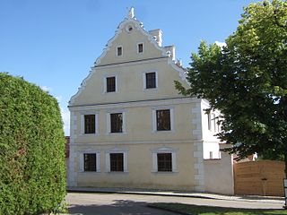
Marktl, or often unofficially called Marktl am Inn, is a village and historic market municipality in the state of Bavaria, Germany, near the Austrian border, in the Altötting district of Upper Bavaria. The most notable neighbouring town is Altötting. Marktl has approximately 2,800 inhabitants.
Gilching is a municipality in the district of Starnberg, in Bavaria, Germany. It is situated 13 km north of Starnberg, and 22 km west of Munich (centre). The quarters Argelsried, Neugilching and Geisenbrunn belong to the municipality of Gilching. Gilching can be easily reached using the Munich area public transportation. One S-Bahn Railway Station is called "Neugilching" which is directly situated at the S8 line - formerly it was the S5 line - in the "Herrsching" direction.

Schäftlarn is a municipality in the district of Munich in Bavaria in Germany. It consists of the villages Ebenhausen, Hohenschäftlarn, Kloster Schäftlarn, Neufahrn and Zell. The river Isar runs through it. A human settlement with the name "Schäftlarn" does not exist.

Uffing am Staffelsee is a municipality in the district of Garmisch-Partenkirchen, in Bavaria, Germany. It consists of the two villages of Uffing and Schöffau and is located on Staffelsee, the warmest lake in Germany. The River Ach flows through Uffing.
Wallerstein is a municipality and former principality in the district of Donau-Ries in Bavaria in Germany.

Etzelwang is a municipality in the district of Amberg-Sulzbach in Bavaria in Germany.
Außernzell is a municipality in the district of Deggendorf in Bavaria in Germany. It is part of the municipal union of Schöllnach.
Langenbach is a municipality in the district of Freising in Bavaria in Germany.
Wiesentheid is a municipality in the district of Kitzingen in Bavaria in Germany.

Velden is a market town and municipality in the district of Landshut in Bavaria in Germany.

Babensham is a municipality in the district of Rosenheim in Bavaria in Germany. It lies on the river Inn.

Griesstätt is a municipality in the district of Rosenheim in Bavaria, Germany. It lies on the river Inn.
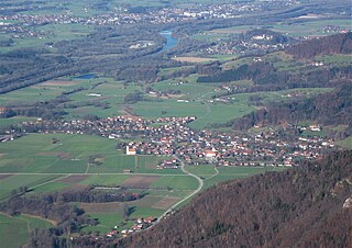
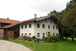
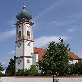
Nußdorf am Inn is a municipality in the district of Rosenheim in the state of Bavaria in Germany. Nußdorf consists of 23 boroughs and is a tourist destination in the Inn Valley between the Heuberg Wendelstein mountains on the Tyrol border. Nußdorf town center has Baroque churches and traditional farm houses.

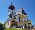
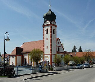
Tann is a municipality in the district of Rottal-Inn in Bavaria, Germany. It has about 4,000 inhabitants and is 15 km from the corner of Austria away. Notable sites include the historic marketplace and the church St. Peter and Paul.

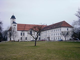
Steingaden is a town and municipality in the Weilheim-Schongau district of Upper Bavaria, Germany. It is the site of the 12th-century Steingaden Abbey and the Wies Church, a UNESCO World Heritage Site.
Rott am Inn is a municipality in the district of Rosenheim in Bavaria in Germany. It lies on the river Inn.

Schonstett is a municipality in the district of Rosenheim in Bavaria in Germany.

Kirchhaslach is a municipality in the district of Unterallgäu in Bavaria, Germany. The town has a municipal association with Babenhausen, Bavaria.