Swift Falls | |
|---|---|
 Swift Falls  Swift Falls | |
| Coordinates: 45°23′56″N95°25′26″W / 45.39889°N 95.42389°W | |
| Country | United States |
| State | Minnesota |
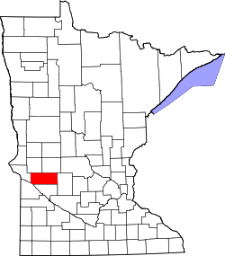
| County | Swift |
| Elevation | 1,119 ft (341 m) |
| Time zone | UTC-6 (Central (CST)) |
| • Summer (DST) | UTC-5 (CDT) |
| Area code | 320 |
| GNIS feature ID | 652954 [1] |
Swift Falls is an unincorporated community in Swift County, in the U.S. state of Minnesota. [1]