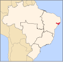
Porto Calvo is a municipality in the state of Alagoas, Brazil. Its population was 24,071 in 2022 and its area is 313 km². It was founded in 1636.

Boca da Mata is a municipality located in the center of the Brazilian state of Alagoas. Its population is 27,356 (2020) and its area is 187 km2.

Cacimbinhas is a municipality in the western of the Brazilian state of Alagoas. Its population is 10,889 (2020) and its area is 273 km2.

Cajueiro is a municipality located in the western of the Brazilian state of Alagoas. Its population is 21,331 (2020) and its area is 124 km². Its name comes from the Portuguese for the cashew tree — in the 19th century, a village began to form around such a tree, near the banks of the Paraíba river.

Campo Alegre is a municipality located in the Brazilian state of Alagoas. Its population is 57,537 and its area is 308 km2 (119 sq mi).

Carié is a municipality located in the Brazilian state of Alagoas. Its population is 17,719 (2020) and its area is 572 km².

Capela is a municipality located in the Brazilian state of Alagoas. Its population is 16,979 (2020) and its area is 205 km².

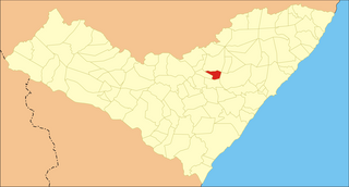
Craíbas is a municipality located in the western of the Brazilian state of Alagoas. Its population is 24,309 (2020) and its area is 275 km².

Feira Grande is a municipality located in the western region of the Brazilian state of Alagoas. Its population is 22,178 (2020) and its area is 156 square kilometres (60 sq mi).

Feliz Deserto is a municipality located in the south of the Brazilian state of Alagoas. Its population is 4,779 (2020) and its area is 92 km².

Ibateguara is a municipality located in the western of the Brazilian state of Alagoas. Its population is 15,627 (2020) and its area is 261 km2.

Igreja Nova is a municipality located in the south of the Brazilian state of Alagoas. Its population is 24,586 (2020) and its area is 429 km2.

Jacuípe is a municipality located in the Brazilian state of Alagoas. Its population is 7,006 (2020) and its area is 217 km².

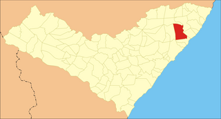
Passo de Camaragibe is a municipality located in the northern coast of the Brazilian state of Alagoas. Its population is 15,258 (2020) and its area is 187 km2.
Pindoba is a municipality located in the center of the Brazilian state of Alagoas. Its population was 2,905 (2020) and its area is 83 km².

Roteiro is a municipality located in the Brazilian state of Alagoas. Its population was 6,649 (2020) and its area is 129 km².

Santana do Mundaú is a municipality located in the Brazilian state of Alagoas. Its population peaked at 11,235 in 2005 and was 10,687 in 2020. Its area is 224 square kilometres (86 sq mi).
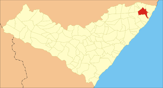
São Luís do Quitunde is a municipality located in the western of the Brazilian state of Alagoas. Its population was 34,692 (2020) and its area is 404 km².

São Miguel dos Milagres is a municipality located in the northern coast of the Brazilian state of Alagoas. Its population was 8,013 (2020) and its area is 65 km².

Satuba is a municipality located in the Brazilian state of Alagoas. Its population was 13,936 (2020) and its area is 43 km2.