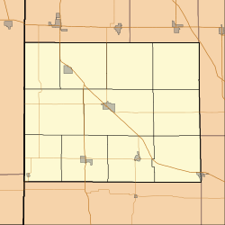
Benton County Railroad Map, circa 1896, showing the location of Talbot
The town of Talbot was laid out by Ezekiel M. Talbot[4] (chief engineer of the LM&B Railroad) and his wife Marietta on February 18, 1873, the plat consisting of 71 lots. The couple would also lay out the nearby town of Ambia two years later.[5] In the 1920s, Talbot had a population of about 200, plus a Methodist church, grain elevator, grade school and eight to ten businesses.[6]
A post office was established at Talbot in 1873, and remained in operation until it was discontinued in 1995.[7]
↑ Mossman, Ed (1883). "History of Benton County: Past Events -- Present Condition". Counties of Warren, Benton, Jasper and Newton, Indiana: Historical and Biographical. Chicago: F. A. Battey & Co.
↑ Birch, Jesse Setlington (1942) [1928]. "Unincorporated community s of the County". History of Benton County and Historic Oxford. Oxford, Indiana: Craw & Craw. p.206.
↑ "Benton County". Jim Forte Postal History. Retrieved February 29, 2020.
This page is based on this Wikipedia article Text is available under the CC BY-SA 4.0 license; additional terms may apply. Images, videos and audio are available under their respective licenses.