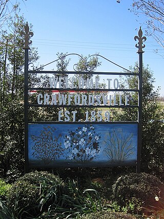
Crawfordsville, historically Crawfordville, is a town in Crittenden County, Arkansas, United States. The population was 479 at the 2010 census.

The Arkansas River is a major tributary of the Mississippi River. It generally flows to the east and southeast as it traverses the U.S. states of Colorado, Kansas, Oklahoma, and Arkansas. The river's source basin lies in Colorado, specifically the Arkansas River Valley. The headwaters derive from the snowpack in the Sawatch and Mosquito mountain ranges. It flows east into Kansas and finally through Oklahoma and Arkansas, where it meets the Mississippi River.

The Ninnescah River is a river in the central Great Plains of North America. Its entire 56.4-mile (90.8 km) length lies within the U.S. state of Kansas. It is a tributary of the Arkansas River.
Savoy is an unincorporated community in Litteral Township, Washington County, Arkansas, United States. It is located on County Route 845 east of Lake Wedington. The Ozark National Forest is just west of the community. The Savoy area is marked with bluffs and streams. A distinctive feature is the dam on Clear Creek where a flour mill was once in operation. Savoy had a post office and businesses that no longer exist.

Dutch Mills is one of thirty-seven townships in Washington County, Arkansas, USA. As of the 2000 census, its total population was 321.
Plainview is an unincorporated community in Harrison Township, White County, Arkansas, United States. It is located at the intersection of Arkansas Highway 157 and the northern terminus of Arkansas Highway 385.
McNair is an unincorporated community in Fayetteville Township, Washington County, Arkansas, United States. It is located within Fayetteville in the southwest part of town near Baum Stadium. McNair was primarily the location of the switching board off the main Frisco line to the Ozark and Cherokee Central branch which went to Tahlequah.

The Fayetteville Shale is a geologic formation of Mississippian age composed of tight shale within the Arkoma Basin of Arkansas and Oklahoma. It is named for the city of Fayetteville, Arkansas, and requires hydraulic fracturing to release the natural gas contained within.
Baldwin is a former unincorporated community in Fayetteville Township, Washington County, Arkansas, United States. It has since been annexed by Fayetteville. It is located in east Fayetteville along Huntsville Road near Lake Sequoyah toward Elkins.
Banyard is an unincorporated community in Winslow Township, Washington County, Arkansas, United States. It is located on Bunyard Road near the Crawford County line west of the Bobby Hopper Tunnel.
White Rock is an unincorporated community in Fayetteville Township, Washington County, Arkansas, United States. It is located about three miles west of Fayetteville on Arkansas Highway 16. Goose Creek is just south of the community.
Gulley is an unincorporated community in Johnson Township, Washington County, Arkansas, United States. It is located within Johnson, on Johnson Road along the railroad tracks.
Wedington Woods is an unincorporated community in Litteral Township, Washington County, Arkansas, United States. It is located west of Fayetteville, north of Wedington Drive. A small grass airport exists named Wedington Woods Airport.
Habberton is an unincorporated community in Prairie Township, Washington County, Arkansas, United States. It is located along the city limits of Goshen at the intersection of Habberton Road and Habberton Avenue.
Viney Grove is an unincorporated community in Marrs Hill Township, Washington County, Arkansas, United States. It is located north of Prairie Grove and Prairie Grove Battlefield State Park along County Road 37.
Arkmo is an unincorporated community located in both Mississippi County, Arkansas and Dunklin County, Missouri, United States. Arkmo is situated at the junction of Arkansas Highway 77 and Missouri Route 108, 3.5 miles (5.6 km) south of Arbyrd; the community primarily lies on the Missouri side of the border.
Wyman is an unincorporated community in Wyman Township, Washington County, Arkansas, United States. It is located east of the White River, north of Lake Sequoyah, southwest of Goshen, and east of Fayetteville.


