Unley is an inner-southern suburb of Adelaide, South Australia, within the City of Unley. The suburb is the home of the Sturt Football Club in the South Australian National Football League (SANFL). Unley neighbours Adelaide Park Lands, Fullarton, Hyde Park, Malvern, Parkside and Wayville.

Torrensville is a western suburb 3 km (1.9 mi) west of the centre of Adelaide, South Australia. It was named after Irish-born economist and chairman of the South Australian Colonisation Commission, Robert Torrens.
West Croydon is an inner western suburb of Adelaide, South Australia.

Cavan is a suburb north of Adelaide, within the City of Salisbury local government area.

Unley Park is a southern suburb of Adelaide in the City of Unley. Its postcode is 5061.
Payneham is an eastern suburb of Adelaide in the City of Norwood Payneham St Peters. It is part of a string of suburbs in Adelaide's east with a high proportion of Adelaide's Italian-Australian and French-Australian residents, many of whom can be traced back to the large-scale migration following World War II.
Royston Park is a suburb of Adelaide in the City of Norwood Payneham St Peters. This is a narrow suburb at a little more than 200 m wide. Royston Park is bordered by Joslin and Marden, along with the River Torrens.
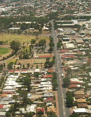
Plympton is an inner south-western suburb of Adelaide, South Australia. The name is believed to have been given by Henry Mooringe Boswarva to a private subdivision in the area, naming after his home town in Devon, England. It was accepted as an official name for the suburb in 1944.

Sturt is a suburb of Adelaide in the City of Marion local government area. It was named after the explorer Captain Charles Sturt.
South Plympton is a suburb of Adelaide in the City of Marion.

Broadview is a suburb of Adelaide, South Australia. It is located in the City of Port Adelaide Enfield and the City of Prospect.
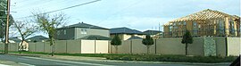
Pennington is a northern suburb of Adelaide, South Australia, located about 10 km from the Adelaide city centre. It is located in the City of Charles Sturt.
Yatala Vale is an outer northeastern rural suburb of Adelaide, South Australia. It is located in the City of Tea Tree Gully local government area, and is adjacent to Golden Grove and Fairview Park, as well as the rural districts of Upper Hermitage and Gould Creek.

Valley View is a suburb of Adelaide, South Australia. It spans three separate local government areas. They are the City of Salisbury, the City of Port Adelaide Enfield, and the City of Tea Tree Gully. The suburb's boundaries are defined by the intersection of Walkleys, Grand Junction and North East Roads in the south, and Wright and Kelly Roads in the north and east.
Cumberland Park is an inner-southern suburb of Adelaide, South Australia in the City of Mitcham.

Allenby Gardens is a western suburb of Adelaide, South Australia. It is located in the City of Charles Sturt.

Beverley is a western suburb of Adelaide, South Australia. It is located in the City of Charles Sturt.
West Hindmarsh is a suburb of Adelaide, located in the City of Charles Sturt local government area. It is around 4 km west northwest of the Adelaide city centre. It is bounded on the south by the River Torrens, east by South Road, north by Port Road and west by streets separating it from the suburb of Welland which has the same north and south boundaries. Grange Road crosses the middle of the suburb.
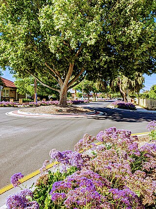
Windsor Gardens is a suburb in the north-eastern suburbs of Adelaide, the capital of South Australia.
Brahma Lodge is a northern suburb of Adelaide, South Australia. It is located in the City of Salisbury.