
Charleswood is a residential community and neighbourhood in Winnipeg, Manitoba, Canada. Situated in the southwest of the city, it is bordered by the neighbourhoods of Tuxedo to the east, Whyte Ridge to the south, and the Rural Municipality of Headingley to the west. The area's boundaries are defined by Roblin Boulevard and the Assiniboine River to the north, Shaftesbury Boulevard to the east, Wilkes Avenue to the south, and the Perimeter Highway to the west.

Tuxedo is a residential suburb of Winnipeg, Manitoba. It is located about 7 kilometres southwest of downtown Winnipeg, and borders the Assiniboine River and Assiniboine Park on the north, Shaftesbury Boulevard on the west, Route 90 on the East and McGillvary Boulevard on the South. Prior to 1972, the community was incorporated as the Town of Tuxedo.
Provincial Trunk Highway 75 is a major highway in the Canadian province of Manitoba. It is the main link between the city of Winnipeg and the United States border, where it connects with Interstate 29/U.S. Route 81.

Route 96 is a city route in Winnipeg, Manitoba, Canada. The route commences at Portage Avenue and ends at Wilkes Avenue.
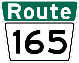
Route 165, named Abinojii Mikanah, is a highway in Winnipeg, Manitoba.
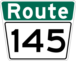
Route 145 is an arterial road in Winnipeg, Manitoba, Canada.

Provincial Trunk Highway 3 (PTH 3) is a major provincial highway located in the Canadian province of Manitoba. It runs from the Saskatchewan boundary to the southwest city limits of Winnipeg, where it continues as Winnipeg Route 155. Prior before to the implementation of Winnipeg's City Route System, it extended to Pembina Highway.
Provincial Trunk Highway 31 is a provincial highway in the Canadian province of Manitoba. It is a short highway that runs from PTH 3 to the U.S. border where it becomes North Dakota State Highway 1. The entire highway lies within the Municipality of Pembina.

Route 70 is a city route in Winnipeg, Manitoba, Canada. It runs from Route 57 to Route 42.

Route 80, locally known as Waverley Street, is a major arterial road in the southwest portion of Winnipeg, Manitoba, Canada. It runs from Kenaston Boulevard to Grant Avenue.

Route 95 is a city route located in Winnipeg, Manitoba. It runs in the southwest part of the city from Route 105 east to Route 42, near the Confusion Corner intersection. It is named Roblin Boulevard west of Assiniboine Park, where it then becomes Corydon Avenue for the remainder of its route.
Roblin Park is one of the original neighbourhoods of the Charleswood community in Winnipeg, Manitoba, Canada. It is bounded by Roblin Boulevard to the North, Hartestone Road to the East, bisects the Harte Trail to the south and Scotswood Drive to the West.
Marlton is one of the original neighbourhoods in the area of Charleswood in Winnipeg, Manitoba. It is bordered by Roblin Boulevard, bisects Tom Chester park to the east and Grant Avenue to the south.

Route 90 is a major north-south arterial route in Winnipeg, Manitoba, Canada. It begins at the South Perimeter Highway and ends at the city's northwest limit, where it continues north as PTH 7. Route 90 is designated as the city's airport route, as it passes by Winnipeg James Armstrong Richardson International Airport.

Route 42 is a major arterial road located in Winnipeg, Manitoba.

Route 52 is a major north-south arterial route in Winnipeg, Manitoba, Canada. It comprises all of Main Street, Queen Elizabeth Way, and St. Mary's Road.
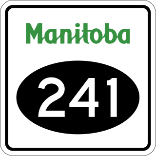
Provincial Road 241 is a short provincial road in Manitoba, Canada. It begins at Winnipeg's Perimeter Highway and runs east into the Rural Municipality of Headingley, ending at PR 334 south.

Provincial Road 424 is a 34.5-kilometre-long (21.4 mi) north-south highway in both the Cental Plains and Winnipeg Metro regions of Manitoba. Almost entirely located within the Rural Municipality of Cartier, it connects Springstein and St. Eustache via Lido Plage.
