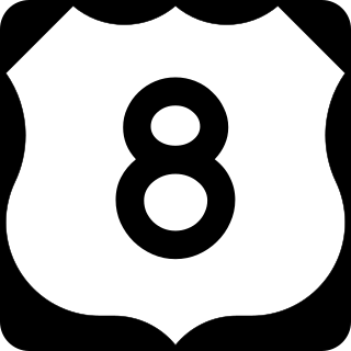
U.S. Highway 8 (US 8) is a United States Numbered Highway that runs primarily east–west for 280 miles (451 km), mostly within the state of Wisconsin. It connects Interstate 35 (I-35) in Forest Lake, Minnesota, to US 2 at Norway in the Upper Peninsula of Michigan near the border with Wisconsin. Except for the short freeway segment near Forest Lake, a section near the St. Croix River bridge, the interchange with US 51, and a three-mile (4.8 km) stretch west of Rhinelander, Wisconsin, it is mostly an undivided surface road. As a state highway in the three states, US 8 is maintained by the Minnesota, Wisconsin and Michigan departments of transportation.
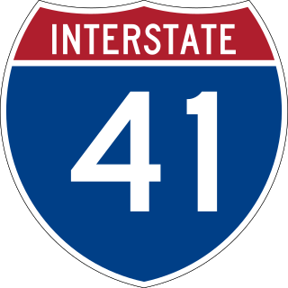
Interstate 41 (I-41) is a 175.00-mile-long (281.64 km) north–south Interstate Highway connecting the interchange of I-94 and U.S. Route 41 (US 41), located 2.50 miles (4.02 km) south of the Wisconsin–Illinois border at the end of the Tri-State Tollway in metropolitan Chicago, to an interchange with I-43 in metropolitan Green Bay, Wisconsin. The designation travels concurrently with US 41 for its entire length, as well as portions of I-894, US 45, I-43, and sections of I-94 in Wisconsin and Illinois. The route was officially added to the Interstate Highway System on April 7, 2015, and connects Milwaukee and Green Bay with the Fox Cities.
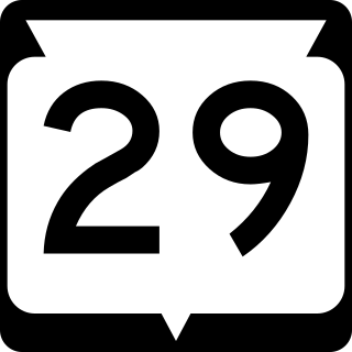
State Trunk Highway 29 is a state highway running east–west across central Wisconsin. It is a major east–west corridor connecting the Twin Cities and the Chippewa Valley with Wausau and Green Bay. A multi-year project to convert the corridor to a four-lane freeway or expressway from Elk Mound to Green Bay was completed in 2005. The remainder of WIS 29 is two-lane surface road or urban multi-lane road.

State Trunk Highway 16 is a Wisconsin state highway running from Pewaukee across the state to La Crosse. Much of its route in the state parallels the former mainline of the Milwaukee Road and current mainline of the Canadian Pacific Railway. Interstate 90 (I-90) or I-94 parallels Highway 16 for most of its length in the state. It serves local traffic in nearby cities including La Crosse, Tomah, Wisconsin Dells, Portage, Columbus, Watertown, Oconomowoc and Waukesha. The highway is mainly two-lane surface road or urban multi-lane expressway from La Crosse to Oconomowoc, and it is a freeway east of Oconomowoc.

State Trunk Highway 17 is a state highway in the U.S. state of Wisconsin. The highway is a secondary route in northeastern Wisconsin that directly connects Rhinelander, Eagle River and the central and eastern parts of Michigan's Upper Peninsula with Wausau, Wisconsin and points south and west.

State Trunk Highway 22 is a state highway in the U.S. state of Wisconsin. The route's trajectory is mostly south to north, with the exception of the segment between Shawano and the northern terminus being east–west. It is generally a two-lane surface road providing a connecting route between Waupaca, Shawano, Gillett and Oconto. Various urban sections have multilane segments.

State Trunk Highway 23 is a state highway in the U.S. state of Wisconsin. The route is signed as a north–south route from Shullsburg to Wisconsin Dells and as an east–west route from Wisconsin Dells to Sheboygan. With the exception of freeway segments between Sheboygan Falls and Sheboygan, an expressway segment between Sheboygan Falls past Greenbush to Fond du Lac, a freeway concurrency with Interstate 39 (I-39), and an expressway segment concurrent with U.S. Highway 151 (US 151), the highway is generally either two-lane surface road or urban multilane arterial. WIS 23 provides access to several important Wisconsin destinations, such as the House on the Rock, the Wisconsin Dells area and various state parks.
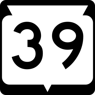
State Trunk Highway 39 is a state highway in the U.S. state of Wisconsin. It runs in east–west across south central Wisconsin from Edmund to New Glarus.

State Trunk Highway 47 is a 188.01-mile (302.57 km) state highway in the northeastern and northern parts of the US state of Wisconsin that runs in a diagonal northwest–southeast from Menasha to Manitowish.

State Trunk Highway 55 is a state highway in Wisconsin, United States. It travels south-to-north in the northeastern part of Wisconsin from an intersection with U.S. Route 151 (US 151) approximately 1.5 miles (2.4 km) north of Brothertown, near the eastern shore of Lake Winnebago in Calumet County, to the Michigan state line at the Brule River approximately one mile (1.6 km) northeast of Nelma in Forest County, where it connects to M-73.

Wisconsin Highway 57 is a 191.82-mile-long (308.70 km) state highway in Wisconsin, United States. It runs from its southern terminus at WIS 59 in Milwaukee to its northern terminus at WIS 42 in Sister Bay. Much of WIS 57 parallels Interstate 43 (I-43) and WIS 42, particularly from Saukville to its northern terminus in Sister Bay. The highway runs concurrently with I-43 for 12 miles (19 km) in Ozaukee County. Like most Wisconsin state highways, WIS 57 is maintained by the Wisconsin Department of Transportation (WisDOT).

State Trunk Highway 68 is a 9.51-mile (15.30 km) state highway in Dodge County in the US state of Wisconsin that runs from WIS 33 in Fox Lake east to WIS 49 in Waupun. WIS 68 is maintained by the Wisconsin Department of Transportation (WisDOT).
State Trunk Highway 72 is a 29.44-mile (47.38 km) state highway state highway in Pierce and Dunn counties in Wisconsin, United States. It runs in west central Wisconsin from US Highway 10 (US 10) and US 63 east of Ellsworth east to WIS 25 in Downsville. The road is maintained by the Wisconsin Department of Transportation (WisDOT).

State Trunk Highway 125 is a 2.62-mile (4.22 km) state highway in Outagamie County in the US state of Wisconsin. It runs from Interstate 41 (i-41) in the Town of Grand Chute east to WIS 47 in Appleton; the route is located entirely within these two municipalities. WIS 125 is maintained by the Wisconsin Department of Transportation (WisDOT).

State Trunk Highway 127 is a 14.16-mile (22.79 km) state highway in the U.S. state of Wisconsin. It runs from WIS 16 near Wisconsin Dells east to Interstate 39 (I-39) and WIS 16 in Portage; the highway is located entirely within Columbia County. WIS 127 is maintained by the Wisconsin Department of Transportation (WisDOT).

State Trunk Highway 156 is a 26.72-mile (43.00 km) state highway in the U.S. state of Wisconsin. The highway runs east–west through northeast Wisconsin, passing through Waupaca and Shawano counties. Highway 156 runs from Wisconsin Highway 22 in Clintonville east to Wisconsin Highway 29 at the Brown County line northwest of Green Bay. The highway is maintained by the Wisconsin Department of Transportation.

M-73 is a north–south state trunkline highway in the Upper Peninsula of the US state of Michigan. It connects with US Highway 2 (US 2) and Highway 55 (WIS 55) at the state line near Iron River. Running through forest, the highway was first designated along with the rest of the state highway system in 1919. Unchanged since its inception, M-73 was completely paved by the mid-1930s.

U.S. Highway 12 in the U.S. state of Wisconsin runs east–west across the western to southeast portions of the state. It enters from Minnesota running concurrently with Interstate 94 (I-94) at Hudson, parallels the Interstate to Wisconsin Dells, and provides local access to cities such as Menomonie, Eau Claire, Black River Falls, Tomah, and Mauston. It then provides an alternative route for traffic between northwestern Wisconsin and Madison and is the anchor route for the Beltline Highway around Madison. Finally, it serves southeastern Wisconsin, connecting Madison with Fort Atkinson, Whitewater, Elkhorn, and Lake Geneva. The West Beltline Highway and the segment between Elkhorn and Genoa City are freeways, and the segment between Sauk City and Middleton is an expressway. The remainder of the road is a two-lane surface road or an urban multilane arterial. Between Hudson and west of Warrens, the road closely parallels the former main line of the Chicago, St. Paul, Minneapolis and Omaha Railway, now operated by Union Pacific Railroad.
A total of four business routes of Wisconsin Highway 29 exist. None of these business routes are official state highways according to the Wisconsin Department of Transportation (WisDOT) and are thus locally maintained.

State Trunk Highway 318 (WIS 318) is a 2.0-mile (3.2 km) state highway in Waukesha County, Wisconsin, United States, that runs north–south as a bypass route along the northwest border of the city of Waukesha. The highway follows Meadowbrook Road and is maintained by the Wisconsin Department of Transportation (WisDOT).


