
Asahi is a town located in Yamagata Prefecture, Japan. As of 1 April 2019, the town had an estimated population and a population density of 36 persons per km2. The total area of the town is 196.73 square kilometres (76 sq mi).
Hata is a district located in Kōchi Prefecture, Japan.

Miyoshi is a district located in Tokushima Prefecture, Japan.
Kuga is a district located in Yamaguchi Prefecture, Japan. Tsugumasa Muraoka is the Governor of Yamaguchi over seeing the Kuga District.
Abu is a district located in Yamaguchi Prefecture, Japan.
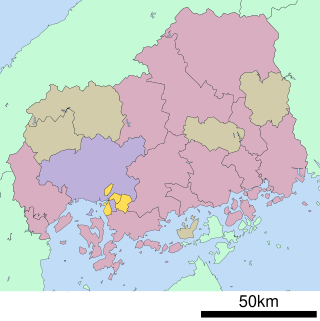
Aki is a district, and is within the Minami-ku, Hiroshima ward, Ward, one of the eight wards that comprise the Hiroshima Prefecture, in Japan. 'Minami', is Japanese for 'South'. 'Ku', is loosely suggestive of a division, such as 'compartment', 'boundary', etc..
Hikawa was a district located in Shimane Prefecture, Japan.

Ōchi is a district located in Shimane Prefecture, Japan.

Sakata was a district located in Shiga Prefecture, Japan.
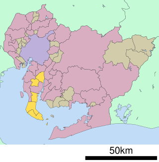
Chita is a district located in southwestern Aichi Prefecture, Japan, on Chita Peninsula.

Nukata is a district located in central Aichi Prefecture, Japan.

Shūchi District is a rural district located in Shizuoka Prefecture, Japan. As of July 2012, the district has an estimated population of 19,177 and a population density of 143 persons per km2. The total area was 133.84 km2.

Nakayama is a town located in Yamagata Prefecture, Japan. As of 29 February 2020, the town had an estimated population of 11,153 in 3701 households, and a population density of 360 persons per km2. The total area of the town is 31.23 square kilometres (12 sq mi).

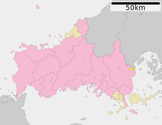
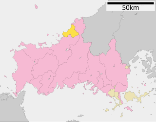
Nishimurayama District is a rural district located in Yamagata Prefecture, Japan. As of October 2013, the district has an estimated population of 41,272 and an area of 796.26 km2. The city of Sagae and a portion of the city of Shirataka were formerly part of Nishimurayama District.

Kitamurayama District is a rural district located in Yamagata Prefecture, Japan. As of October 2013, the district has an estimated population of 7,652 and an area of 79.59 km2. The cities of Murayama, Higashine and Ozanazawa and a portion of the city of Tendō were formerly part of Kitamurayama District.

Akumi District is a rural district located in Yamagata Prefecture, Japan.

Hiroshima National Peace Memorial Hall for the Atomic Bomb Victims is one of the National Memorial Halls in Hiroshima, Japan.

Kagusa Station is a former JR West Kabe Line station located in Tsutsuga, Yamagata District, Hiroshima Prefecture, Japan. It closed on December 1, 2003, when operation of the line was discontinued/suspended between Kabe Station and Sandankyō Station.
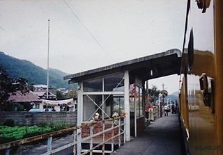
Kamitono Station is a former JR West Kabe Line station located in Togouchi, Yamagata District, Hiroshima Prefecture, Japan. It closed on December 1, 2003, when operation of the line was discontinued/suspended between Kabe Station and Sandankyō Station.

Togōchi Station is a former JR West Kabe Line station located in Togouchi, Yamagata District, Hiroshima Prefecture, Japan. It closed on December 1, 2003 when operation of the line was discontinued/suspended between Kabe Station and Sandankyō Station.
