
Umm Salal is a municipality in the State of Qatar.
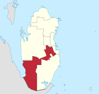
Al Rayyan is the third-largest municipality in the state of Qatar. Its primary settlement is the city of the same name, which occupies the entire eastern section and largely surrounds Metropolitan Doha and functions as a suburb. The vast expanse of mostly undeveloped lands in the south-west also falls under the municipality's administration.
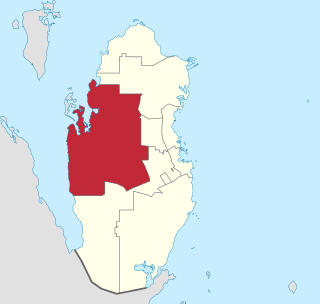
Al Shahaniya is a municipality (3299 km2) in Qatar, with its municipal seat as a city of the same name (39 km2). Formerly in the municipality of Al Rayyan, but now an independent municipality, the municipal seat was delimited in 1988 by Law No. 22. In 2014, the cabinet ratified a draft amending some provisions to the 1988 law, thereby formalizing Al Shahaniya as Qatar's eighth municipality.

Al Daayen is a municipality in the state of Qatar. Most of the urban landscape can be found in the southern zone of the municipality, particularly in the city of Lusail, while the northern and central sections are primarily rural. It is one of the fastest growing municipalities in Qatar due to its close proximity to the capital Doha.
Zone 77 is a zone of the municipality of Al Shamal in the state of Qatar. The main districts recorded in the 2015 population census were Ain Sinan, Fuwayrit and Madinat Al Kaaban, all of which are situated in the eastern section of the municipality.
Zone 78 is a zone of the municipality of Al Shamal in the state of Qatar. The main districts recorded in the 2015 population census were Abu Dhalouf and Zubarah.
Zone 72 is a zone in the municipality of Al-Shahaniya in the state of Qatar. The main district recorded in the 2015 population census was Al Utouriya.
Zone 80 is a zone in the municipality of Al-Shahaniya in the state of Qatar. The main district recorded in the 2015 population census was Al-Shahaniya City, the municipal seat.
Zone 82 is a zone in the municipality of Al-Shahaniya in the state of Qatar. The main district recorded in the 2015 population census was Rawdat Rashed.
Zone 85 is a zone in the municipality of Al-Shahaniya in the state of Qatar. The main district recorded in the 2015 population census was Al Nasraniya.
Zone 51 is a zone of the municipality of Al Rayyan in the state of Qatar. The main districts recorded in the 2015 population census were Al Gharrafa, Gharrafat Al Rayyan, Izghawa, Bani Hajer, Al Seej, Rawdat Egdaim, and Al Themaid.
Zone 53 is a zone of the municipality of Al Rayyan in the state of Qatar. The main districts recorded in the 2015 population census were New Al Rayyan, Al Wajbah, and Muaither.
Zone 55 is a zone of the municipality of Al Rayyan in the state of Qatar. The main districts recorded in the 2015 population census were Fereej Al Soudan, Al Waab, Al Aziziya, New Fereej Al Ghanim, Fereej Al Murra, Fereej Al Manaseer, Bu Sidra, Muaither, Al Sailiya, and Al Mearad.
Zone 56 is a zone of the municipality of Al Rayyan in the state of Qatar. The main districts recorded in the 2015 population census were Fereej Al Asiri, New Fereej Al Khulaifat, Bu Samra, Al Mamoura, Abu Hamour, Mesaimeer, and Ain Khaled.
Zone 90 is a zone of the municipality of Al Wakrah in the state of Qatar. The main district recorded in the 2015 population census was the municipal seat, Al Wakrah City.
Zone 91 is a zone of the municipality of Al Wakrah in the state of Qatar. The main districts recorded in the 2015 population census were Al Thumama, Al Wukair, and Al Mashaf.
Zone 74 is a zone of the municipality of Al Khor in the state of Qatar. The main districts recorded in the 2015 population census were Simaisma, Al Jeryan, Al Khor City.
Zone 75 is a zone of the municipality of Al Khor in the state of Qatar. The main districts recorded in the 2015 population census were Al Thakhira, Ras Laffan, and Umm Birka.
Zone 69 is a zone of the municipality of Al Daayen in the state of Qatar. The main districts recorded in the 2015 population census were Al Egla, Al Kharayej, Jabal Thuaileb, Lusail, and Wadi Al Banat.
Zone 70 is a zone of the municipality of Al Daayen in the state of Qatar. The main districts recorded in the 2015 population census were Leabaib, Al Ebb, Jeryan Jenaihat, Al Kheesa, Rawdat Al Hamama, Wadi Al Wasaah, Al Sakhama, Al Masrouhiya, Wadi Lusail, Lusail, Umm Qarn, and Al Daayen.