
Castlederg is a town in County Tyrone, Northern Ireland. It lies on the River Derg and is near the border with County Donegal, Ireland. It stands in the townlands of Castlesessagh and Churchtown, in the historic barony of Omagh West and the civil parish of Urney. The village has a ruined castle and two ancient tombs known as the Druid's Altar and Todd's Den. It had a population of 2,976 people at the 2011 Census.

Holywood is a town in the metropolitan area of Belfast in County Down, Northern Ireland. It is a civil parish and townland of 755 acres lying on the shore of Belfast Lough, between Belfast and Bangor. Holywood Exchange and Belfast City Airport are nearby. The town hosts an annual jazz and blues festival.

Donemana or Dunnamanagh is a small village in County Tyrone, Northern Ireland. It is 7 miles or 11 kilometres north-east of Strabane, on the banks of the Burn Dennett and at the foothills of the Sperrins. It is the largest of the thirteen villages in the Strabane District Council area and had a population of 586 in the 2001 Census.

Hilltown is a small village within the townland of Carcullion in County Down, Northern Ireland. Hilltown is the main village of the parish of Clonduff which contains the village and the rural areas around it at one end, and the rural enclave of Cabra at the other end of the parish. It had a population of 899 people in the 2001 census. On 27 March 2011, the usually resident population of Hilltown was 1,709.

Millisle or Mill Isle is a village on the Ards Peninsula in County Down, Northern Ireland. It is about 3 miles (4.8 km) south of Donaghadee. It is situated in the townlands of Ballymacruise and Ballycopeland, the civil parish of Donaghadee and the historic barony of Ards Lower. It had a population of 2,318 people in the 2011 Census.

Groomsport is a village and townland two miles north east of Bangor in County Down, Northern Ireland. It is on the south shore of Belfast Lough and on the north coast of the Ards Peninsula. Groomsport has a population of 3,005 people according to the 2011 Census. It is part of the Ards and North Down Borough.

Beragh is a village and townland in County Tyrone, Northern Ireland. It is about 8 miles southeast of Omagh and is in the Fermanagh and Omagh District Council area. The 2001 Census recorded a population of 520.

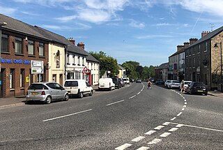
Keady is a village and civil parish in County Armagh, Northern Ireland. It is south of Armagh and near the border with the Republic of Ireland. It is situated mainly in the historic barony of Armagh with six townlands in the barony of Tiranny. It had a population of 3,051 people in the 2011 Census.
Helen's Bay is a village on the northern coast of County Down, Northern Ireland. It is within the townland of Ballygrot, between Holywood, Crawfordsburn and Bangor. It is served by a railway station and had a population of 1,390 in the 2011 Census. It is part of the Ards and North Down Borough Council area.

Claudy is a village and townland in County Londonderry, Northern Ireland. It lies in the Faughan Valley, 6 miles (9.7 km) southeast of Derry, where the River Glenrandal joins the River Faughan. It is situated in the civil parish of Cumber Upper and the historic barony of Tirkeeran. It is also part of Derry and Strabane district.

Articlave is a village and townland in County Londonderry, Northern Ireland. It is on the main A2 coastal road, 7 kilometres west of Coleraine. Castlerock railway station is 1 mile (1.6 km) to the north. In the past the area has been spelt as Ardacleve or Ardacleave. It is situated within the Causeway Coast and Glens district.

Ballymagorry or Ballymagory is a small village and townland in County Tyrone, Northern Ireland. It is west of Artigarvan and 5 kilometres (3.1 mi) north of Strabane. In the 2001 Census it had a population of 565. It lies within the Strabane District Council area and lies on the River Glenmornan.

Ballywalter is a village or townland and civil parish in County Down, Northern Ireland. It is on the east coast of the Ards Peninsula between Donaghadee and Ballyhalbert. Ballywalter was formerly known as Whitkirk as far back as the 12th century. It had a population of 2,027 people in the 2011 census.

Dervock is a small village and townland in County Antrim, Northern Ireland. It is about 3.5 miles (6 km) northeast of Ballymoney, on the banks of the River Bush. It is situated in the civil parish of Derrykeighan and the historic barony of Dunluce Lower. It had a population of 714 people in the 2011 Census.
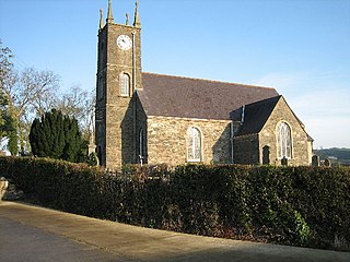
Donaghmore is a village, townland and civil parish in County Tyrone, Northern Ireland, about five kilometres (3 mi) north-west of Dungannon. In the 2011 Census it had a population of 1,122 people. The village is beside the River Torrent, formerly known as the Torrent Flow.
Dromara is a village, townland and civil parish in County Down, Northern Ireland. It lies 10 kilometres (6.2 mi) to the southwest of Ballynahinch on the northern slopes of Slieve Croob, with the River Lagan flowing through it. It is situated in Dromara and the historic barony of Iveagh Lower, Lower Half. In the 2011 Census it had a population of 1,006 people.

Ederney is a village situated primarily in the townlands of Drumkeen and of Ederny in County Fermanagh, Northern Ireland.
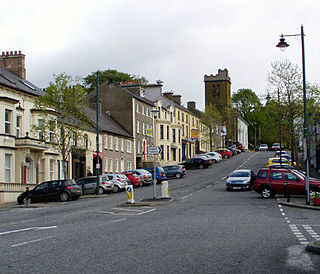
Richhill is a large village and townland in County Armagh, Northern Ireland. It lies between Armagh and Portadown. It had a population of 2,821 people in the 2011 Census.

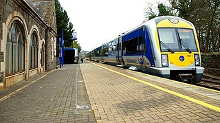
Seahill railway station is located in the townland of Ballyrobert in the Seahill area of Holywood, County Down, Northern Ireland. The station was opened on 4 April 1966.
Craigavad is a townland in County Down, Northern Ireland, lying within the civil parish of Holywood and the historic barony of Castlereagh Lower. Suburban and residential in character, Craigavad lies between the centre of Holywood and Bangor in the area administered by the Ards and North Down Borough Council.


