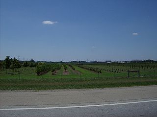
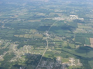
Five Points is a census-designated place (CDP) in Clearcreek Township, Warren County, Ohio, United States. The population was 2,247 at the 2020 census.
Turtlecreek Township is one of the eleven townships of Warren County, Ohio, United States. It is in the central part of the county and surrounds the county seat of Lebanon. Turtlecreek is the largest township in the county, originally containing sixty-three whole and seven fractional sections. The population was 17,644 as of the 2020 census.

Clearcreek Township is one of the eleven townships of Warren County, Ohio, United States, located in the north central portion of the county. It had a population of 36,238 in 2020. It was originally about forty-two square miles in area. The highest point in the county is in Clearcreek Township, near the community of Five Points. Statewide, the only other Clearcreek Townships are located in Fairfield County and in Ashland County.

Beedles Station was the first settlement in what was to become Warren County, Ohio, United States. A blockhouse was established there in 1795 in what is now Section 28, Town 4, Range 3 of the Between the Miami Rivers Survey in western Turtlecreek Township. This is on the west side of State Route 741 about a mile south of Otterbein. The settlement was named for William Beedle, an early settler. A historical plaque marks the site.

Zoar is an unincorporated community in northern Hamilton Township, Warren County, Ohio, United States. It is located on the 3C Highway about one mile east of Hopkinsville and three miles west of Morrow in Virginia Military District Military Survey 1546.

Dallasburg is an unincorporated community in southern Hamilton Township, Warren County, Ohio, United States. It is located in Virginia Military Reserve Military Survey 3790, about one mile west of Cozaddale and two miles southeast of Murdoch.

Fosters is an unincorporated community in southern Warren County, Ohio, United States. It straddles the Little Miami River in Deerfield and Hamilton Townships. It is located about two miles southwest of Hopkinsville, two miles west of Maineville, and two miles northeast of Twenty Mile Stand just off U.S. Route 22/State Route 3, the 3C Highway. The community is in the Kings Local School District and is served by the Maineville post office. The settlement was originally called Foster's Crossing. The community was named after the local Foster family.

The Warren County Canal was a branch of the Miami and Erie Canal in southwestern Ohio about 20 miles (32 km) in length that connected the Warren County seat of Lebanon to the main canal at Middletown in the mid-19th century. Lebanon was at the crossroads of two major roads, the highway from Cincinnati to Columbus and the road from Chillicothe to the College Township (Oxford), but Lebanon businessmen and civic leaders wanted better transportation facilities and successfully lobbied for their own canal, part of the canal fever of the first third of the 19th century. The Warren County Canal was never successful, operating less than a decade before the state abandoned it.
Red Lion is an unincorporated community in southwestern Clearcreek Township, Warren County, Ohio, United States, at the intersection of State Routes 741, 122, and 123. Red Lion is approximately five miles south of Springboro and five miles northwest of Lebanon.
Pekin is an unincorporated community in Clearcreek Township, Warren County, Ohio, United States, at the intersection of State Route 48 and Pekin Road. Pekin is approximately 3 miles south of Springboro and 7 miles northwest of Lebanon.
Edwardsville is an unincorporated community in Warren County, in the U.S. state of Ohio. Edwardsville is the oldest community in Harlan Township.
Rossburg is an unincorporated community in Warren County, in the U.S. state of Ohio.
Genntown is an unincorporated community in Warren County, in the U.S. state of Ohio.
Gum Grove is a small unincorporated community in Warren County, in the U.S. state of Ohio.
Hicks is an unincorporated community in Warren County, in the U.S. state of Ohio.
Merrittstown is an unincorporated community in Warren County, in the U.S. state of Ohio.
Middleboro is an unincorporated community in Warren County, in the U.S. state of Ohio.
Venable is an extinct town in Warren County, Ohio.
Wellman is an unincorporated community in Massie Township, Warren County, in the U.S. state of Ohio.