   | |
| Local date | 1835 |
|---|---|
| Duration | 10 to 30 seconds |
| Magnitude | 6.5 Mw [1] |
| Depth | 25 km (16 mi) [1] |
| Epicentre | 37°S175°E / 37°S 175°E [2] |
| Type | Normal |
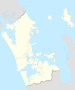
| Areas affected | Auckland, Waikato |
| Total damage | Possibly Severe |
| Max. intensity | MMI VIII (Severe) |
| Tsunami | No |
| Aftershocks | Many (Possibly between magnitudes 2 and 5) [3] |
| Casualties | Unknown |
The 1835 Auckland earthquake was a magnitude 6.5 earthquake that occurred sometime during 1835 in the Auckland region of New Zealand. [1] The earthquake was caused by movement along the Wairoa North Fault, which runs through the area. [4] [5] At the time, the settlement of Auckland was still quite small, and there are limited records of the specific damage caused by the earthquake. However, historical accounts suggest that the earthquake caused significant shaking and rumbling in the area, and it is possible that some buildings or structures may have been damaged or collapsed. Despite this, there are no records of major damage or casualties resulting from the earthquake. The 1835 Auckland earthquake remains an important event in the region's history, particularly as it highlights the seismic activity that can occur in the area due to the presence of faults such as the Wairoa North Fault. [6]