| ||||
|---|---|---|---|---|
| Major junctions | ||||
| East end | ||||
| West end | ||||
| Location | ||||
| Country | Nigeria | |||
| Major cities | ||||
| Highway system | ||||
| ||||

The A11 highway is a major highway in Nigeria. It serves as a crucial transportation route connecting various cities and regions across the country.
| ||||
|---|---|---|---|---|
| Major junctions | ||||
| East end | ||||
| West end | ||||
| Location | ||||
| Country | Nigeria | |||
| Major cities | ||||
| Highway system | ||||
| ||||
The A11 highway is a major highway in Nigeria. It serves as a crucial transportation route connecting various cities and regions across the country.
The A11 highway spans from east to west across Nigeria, serving as an important east-west transportation corridor for both goods and passengers. [1]
The eastern terminus of the A11 highway is located near the town of Rigacikun. It connects with the A2 highway at this point, forming a significant intersection in the region. [2]
The western terminus of the A11 highway is situated in Pambeguwa. This is where the A11 highway intersects with the A236 highway, providing a key gateway to the western parts of Nigeria. [3]
The A11 highway includes several major junctions along its route, enhancing connectivity and access to various cities and regions. Notable junctions include:
The A11 highway serves multiple cities and towns along its route, contributing to regional development and economic activities. These cities and towns include:

Interstate 10 (I-10) is the southernmost transcontinental highway in the Interstate Highway System. I-10 is the fourth-longest Interstate in the United States at 2,460.34 miles (3,959.53 km), following I-90, I-80, and I-40. This freeway is part of the originally planned network that was laid out in 1956, and its last section was completed in 1990.

U.S. Route 191 is a spur of U.S. Route 91 that has two branches. The southern branch runs for 1,102 miles (1,773 km) from Douglas, Arizona on the Mexican border to the southern part of Yellowstone National Park. The northern branch runs for 442 miles (711 km) from the northern part of Yellowstone National Park to Loring, Montana, at the Canada–US border. Unnumbered roads within Yellowstone National Park connect the two branches. The highway passes through the states of Arizona, Utah, Wyoming, and Montana.

New York State Route 481 (NY 481) is a state highway in Central New York in the United States. The southern terminus of the route is at an interchange with Interstate 81 (I-81) in North Syracuse, where the highway continues southeastward as I-481. Its northern terminus is located at an intersection with NY 104 in Oswego about two blocks from Lake Ontario. In between, NY 481 serves the communities of Clay, Phoenix and Fulton along the Oswego River. NY 481 is one of two state routes in the Syracuse area that serves as an extension of an Interstate Highway; the other is NY 690.

A total of ten special routes of U.S. Route 71 exist, and another ten previously existed.
The metropolitan area of Phoenix in the U.S. state of Arizona contains one of the nation's largest and fastest-growing freeway systems, with over 1,405 lane miles (2,261 km) as of 2005.

U.S. Route 20 (US 20) runs its easternmost 153 miles (246 km) in the U.S. state of Massachusetts. The highway crosses the state border from New Lebanon, New York, into Hancock and runs eastward to Boston, where it ends at Route 2 in Kenmore Square. It spends the vast majority of its journey paralleling I-90, which has largely superseded US 20 for through travel. Still, US 20 directly serves many towns and local business areas which the turnpike bypasses.
There are 28 routes assigned to the "A" zone of the California Route Marker Program, which designates county routes in California. The "A" zone includes county highways in Lassen, Plumas, Shasta, Siskiyou, and Tehama counties.
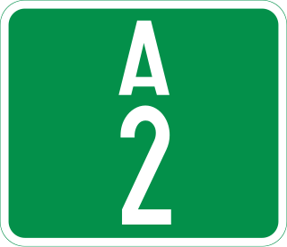
The A2 highway is a federal highway in Nigeria that spans 1,106 kilometres. It serves as a vital transportation route, connecting the country's southern and northern regions.
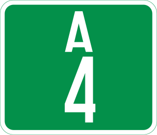
The A4 highway is a major north–south route in Nigeria that spans from the southern coast to the eastern inland region, connecting various cities and regions.
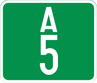
The A5 highway is a major highway in Nigeria. It connects the cities of Lagos, Abeokuta, and Ibadan in an eastward direction.
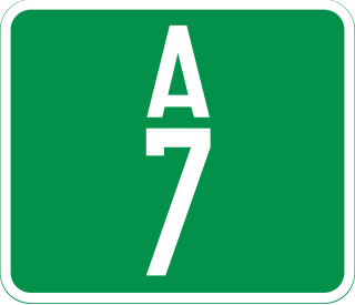
The A7 Highway is a major highway in Nigeria, connecting the city of Ilorin, the capital of Kwara State, in the eastern direction to the border with Benin in the northwest. It plays a crucial role in regional transportation, passing through several cities and towns along its route.

The A8 highway is a roadway in Adamawa State, Nigeria. It spans approximately 100 kilometers, running from west to east. This highway connects two towns located to the south of the Benue River: Numan and Jimeta.
The A13 highway is a major road in Nigeria spanning approximately 615 kilometers. It connects the city of Jimeta in Adamawa State in the south to its northern terminus near Bama in Borno State. The highway plays a significant role in regional transportation.
The A9 highway is a major highway in Nigeria, located in the northern region of the country. It serves as a vital transportation link, connecting several key cities and facilitating both domestic and international trade.
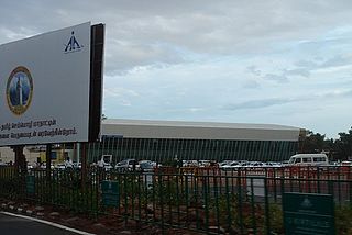
Coimbatore is a city in the state of Tamil Nadu, India. Most transportation in the city and suburbs is by road. Coimbatore is well-connected to most cities and towns in India by road, rail, and air, but not through waterways. The city has successful transport infrastructure compared to other Indian cities, though road infrastructures are not well maintained and developed according to the growing needs of transport, making traffic congestion a major problem in the city. A comprehensive transport development plan has been made to address many traffic problems.
Transportation in New England encompasses the region's rail and highway networks, seaports, and airports. New England has one of the United States' oldest intercity transportation systems, which remain important to the region's economy. It is also home to the continent's first subway system. The densely populated area has many cities and towns connected by rail and road, and the larger cities each have commercial airports with daily flights to destinations outside of the region.
The A10 highway is a major highway in Nigeria, connecting the western and eastern regions of the country. This highway spans approximately 452 kilometers and plays a crucial role in facilitating transportation and commerce.
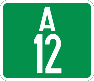
The A12 highway is a major highway in Nigeria, connecting the town of Katsina Ala in the east to the city of Jalingo in the west. It spans approximately 350 kilometers and serves as an important component of the regional transportation network.
| | This article about road transport in Nigeria is a stub. You can help Wikipedia by expanding it. |