| Ahar River | |
|---|---|
 | |
  | |
| Location | |
| Country | India |
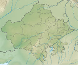
| States | Rajasthan and Uttar Pradesh |
| Cities | |
| Physical characteristics | |
| Source | Aravalli range |
| • location | Udaipur, Mewar, Rajasthan, India |
| • coordinates | 24°34′N73°48′E / 24.567°N 73.800°E |
| Mouth | Ahar-Berach sangam confluence |
• location | Madhya Pradesh, India |
| Basin features | |
| Progression | Ahar River, Berach River, Banas River, Chambal river, Yamuna River, Ganges River |
| River system | Ganges |
The Ahar River is a tributary of the Berach River which drains to the Banas River, a tributary of the Chambal river which drains to the Yamuna River, the principal tributary of Ganges River.
The river flows through Udaipur city. The outflow of Lake Pichola and Fateh Sagar Lake of Udaipur district enters the Ahar river. The river further downstream feeds Udaisagar Lake just outside Udaipur city. [1]
Ahar River is also the site of 3000 BC to 1500BC Chalcolithic (copper-stone age) archaeological culture, the Ahar-Banas culture. [2] [3]
On the river bank in Udaipur there are royal cenotaphs (memorials) of Maharanas of Mewar called "Ahar ki Chhatriya" literally Ahar Cenotaphs. [4]