Leech Lake Township is a township in Cass County, Minnesota, United States. The population was 384 at the 2000 census. This township took its name from Leech Lake.
Remer Township is a township in Cass County, Minnesota, United States. The population was 183 as of the 2000 census. Remer Township was named for two brothers, E. N. and William P. Remer.
Bay Lake Township is a township in Crow Wing County, Minnesota, United States. The population was 923 at the 2000 census. This township took its name from Bay Lake.
Daggett Brook Township is a township in Crow Wing County, Minnesota, United States. The population was 448 at the 2000 census. This township took its name from Daggett Brook.
Fort Ripley is a city in Crow Wing County, Minnesota, United States, near the confluence of the Mississippi and Nokasippi Rivers. The population was 69 at the 2010 census. It is part of the Brainerd Micropolitan Statistical Area.
Pilot Mound Township is a township in Fillmore County, Minnesota, United States. The population was 364 at the 2000 census.
Hendrickson Township is a township in Hubbard County, Minnesota, United States. The population was 229 at the 2000 census.
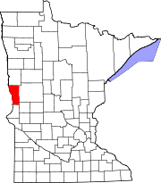
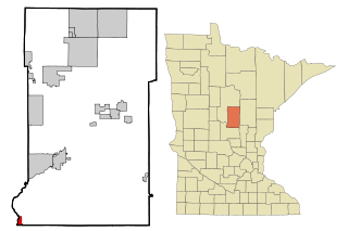
Freeland Township is a township in Lac qui Parle County, Minnesota, United States. The population was 127 at the 2000 census.
Prosper Township is a township in Lake of the Woods County, Minnesota, United States. The population was 155 at the 2000 census.
Lynd Township is a township in Lyon County, Minnesota, United States. The population was 471 at the 2000 census.
Vega Township is a township in Marshall County, Minnesota, United States. The population was 155 at the 2000 census.
Parker Township is a township in Morrison County, Minnesota, United States. The population was 469 at the 2000 census.
Home Lake Township is a township in Norman County, Minnesota, United States. The population was 184 at the 2000 census.
Barry Township is a township in Pine County, Minnesota, United States. The population was 587 at the 2000 census.
Breitung Township is a township in Saint Louis County, Minnesota, United States. The population was 605 at the 2010 census.
Iona Township is a township in Todd County, Minnesota, United States. The population was 416 at the 2000 census and was 504 at the time of the 2020 census.
Gillford Township is a township in Wabasha County, Minnesota, United States. The population was 581 at the 2000 census. The unincorporated community of Oak Center is located in the township.
Highland Township is a township in Wabasha County, Minnesota, United States. The population was 471 at the 2000 census.
Bruce Township is a township in Todd County, Minnesota, United States. The population was 564 at the 2000 census but had declined to 479 by the 2020 census.

South Oxford is an unorganized territory located in Oxford County, Maine, United States. The population was 591 at the 2020 census. The unorganized territory encompasses the areas designated under state law as Albany Township, Mason Township, and Batchelder's Grant. Albany and Mason were formerly incorporated as towns. Albany disincorporated in 1937 while Mason disincorporated in 1935.