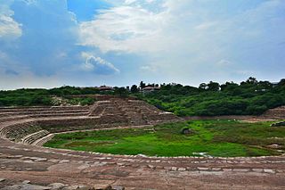
Qadian is a city and a municipal council in Gurdaspur district, north-east of Amritsar, situated 18 kilometres (11 mi) north-east of Batala city in the state of Punjab, India. Qadian is the birthplace of Mirza Ghulam Ahmad, the founder of the Ahmadiyya movement within Islam. It remained the headquarters of the Ahmadiyya movement until the Partition of India in 1947.
Puttur (Pronunciation:) is a city in Dakshina Kannada district, in Karnataka state of India. The Puttur Shree Mahalingeshwara Temple is located here.

Porur is a neighbourhood of Chennai, India. It is situated in the Maduravoyal taluk of Chennai district in the southern part of the city. Since 2011, it has been a part of the Chennai Corporation and included in zone number 11.

Faridabad district is one of the 22 districts of the Indian state of Haryana with Faridabad city being the district headquarters.The District is a Part of Central National Capital Region of Delhi.The Delhi-Mathura-Agra National Highway 44 passes through the centre of the district, which occupies an area of 741 square kilometres (286 sq mi) and as of the 2011 census of India had a population of 1,809,733. Haryana government has created a new Faridabad division which would cover the districts – Faridabad, Nuh and Palwal.
Jagraon is a city and a municipal council, a rural police district and a sub-division of the Ludhiana district in the Indian state of Punjab. Jagraon is more than three centuries old. Jagraon is at almost the geographical center of the state, 16 kilometres (9.9 mi) from the Satluj River. It is 37 km (23 mi) from its district headquarters Ludhiana, 29 km (18 mi) from Moga, 31 km (19 mi) from Nakodar and 54 miles from Barnala.
Adampur is a town, a municipal council and a sub-tehsil in Jalandhar district in the Indian state of Punjab.
Alawalpur is a town and a municipal council in Jalandhar district in the state of Punjab, India. Alawalpur is named after Alawal Khan, a Pathan who ruled the area during the time of Maharajah Ranjit Singh. Sardar Himmat Singh Jallewalia, a Bains Jat Sardar, a general in Ranjit Singh's army, later conquered Alawalpur. His descendants still live in a fort located at the center of the city.
Anjad is a City and a Tehsil in Barwani district in the state of Madhya Pradesh, India.Anjad is famous for the business of cotton and Gining industries, gold and silver, and ready made garments and most famous for the temple of Nagari Mata.
Bhogpur is a town and a Nagar Panchayat in Jalandhar district in the state of Punjab, India. Bhogpur has a Dana Mandi and have subsequent villages under it. It also acts as a route from Jalandhar to Tanda and is known for its famous sweet shops, and tailor shops. Sikhism is the major religion followed by Hinduism.
Bhuban is the largest village in the Asia Continent, situated in the bank of Brahmani River. Bhuban is the largest village not only in odisha, but also largest in the Asia Continent located in the subdivision of Kamakhyanagar, Dhenkanal district in the state of Odisha, India.
Dhilwan is a town and a nagar panchayat in Kapurthala district in the state of Punjab, India.
Shahkot is a small city and one of the five tehsils of Jalandhar district in Punjab, India. Shahkot is situated on Jalandhar-Moga-Barnala-Sirsa National Highway 703. Shahkot is administered by the Municipal Committee. About 176 villages belong to Shahkot tehsil.
Talwara is a city, just 58 km from Hoshiarpur city in Hoshiarpur district in the Indian state of Punjab. It is near to the border of the state of Himachal Pradesh.This place is known for proximity to Pong Dam and was mainly populated during the construction of the same. It is situated on the banks of Pong Left Main Canal. locally known as Shah Neher. It consists of 4 sectors and a main market, where people can get there day-to-day needs. Prominent personalities include Mr. Sanjay Choudhary of Datarpur. It is also called Mini Chandigarh for its cleanliness, a rock/rose garden and infrastructure.
Gevrai or Georai is a tehsil in the Beed district of Maharashtra, India.
Shahpur is a town and a Nagar panchayat in Burhanpur district in the Indian state of Madhya Pradesh.

Kartarpur is a town, near the city of Jalandhar in Jalandhar district in the Indian state of Punjab and is located in the Doaba region of the state. It was founded by the fifth Guru of the Sikhs, Guru Arjan.

Parner taluka is a taluka in Ahmednagar district in the state of Maharashtra in western India.
Chandanmatti is a village in Dharwad district of Karnataka, India.

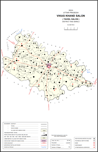
Chak Neknampur is a village in Salon block of Rae Bareli district, Uttar Pradesh, India. It is located 34 km from Raebareli, the district headquarters. As of 2011, Chak Neknampur has a population of 442 people, in 75 households. It has one primary school and no healthcare facilities.

Inchhan Gonda is a village in Salon block of Rae Bareli district, Uttar Pradesh, India. It is located 8 km from Salon, the block and tehsil headquarters. As of 2011, Inchhan Gonda has a population of 938 people, in 193 households. It has one primary school and no healthcare facilities, and it does not host a permanent market or a periodic haat.


