Bosoord | |
|---|---|
 Bosoord  Bosoord | |
| Coordinates: 25°13′59″S30°19′44″E / 25.233°S 30.329°E Coordinates: 25°13′59″S30°19′44″E / 25.233°S 30.329°E | |
| Country | South Africa |
| Province | Mpumalanga |
| District | Ehlanzeni |
| Municipality | Thaba Chweu |
| Area | |
| • Total | 0.60 km2 (0.23 sq mi) |
| Population (2011) [1] | |
| • Total | 1,130 |
| • Density | 1,900/km2 (4,900/sq mi) |
| Racial makeup (2011) | |
| • Black African | 99.1% |
| • Coloured | 0.6% |
| • White | 0.3% |
| First languages (2011) | |
| • Swazi | 39.8% |
| • Zulu | 26.0% |
| • Northern Sotho | 22.4% |
| • Sotho | 5.1% |
| • Other | 6.6% |
| Time zone | UTC+2 (SAST) |
| Area code | 013 |
Bosoord is a village between Lydenburg and Dullstroom in Thaba Chweu Local Municipality of Mpumalanga province, South Africa.

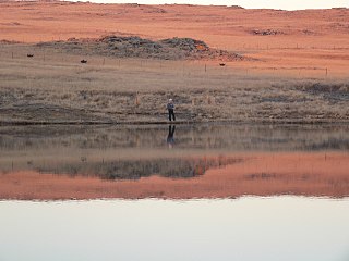
Lydenburg is a town in Thaba Chweu Local Municipality, Mpumalanga, South Africa. Alternatively known as Mashishing, Lydenburg is situated on the Sterkspruit/Dorps River tributary of the Lepelle River at the base of the Long Tom Pass. The name is derived from the Dutch Lijdenburg, or "Town of Suffering". Lydenburg has become the centre of the South African fly-fishing industry and is an agricultural and mining hub.
Dullstroom, also known as Emnothweni, is a small town in Mpumalanga province, South Africa. The town lies 35 kilometres north of Belfast and some 53 kilometres south-west of Lydenburg.

Thaba Chweu Local Municipality, is a municipality of South Africa, located in the Ehlanzeni District Municipality, Mpumalanga.
