Brooktree Park, North Dakota | |
|---|---|
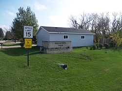 Sign at the entrance to Brooktree Park | |
 Brooktree Park, North Dakota | |
| Coordinates: 47°00′14″N96°53′45″W / 47.00389°N 96.89583°W | |
| Country | |
| State | |
| County | Cass |
| Township | Harwood |
| Area | |
• Total | 0.18 sq mi (0.46 km2) |
| • Land | 0.18 sq mi (0.46 km2) |
| • Water | 0 sq mi (0.00 km2) |
| Elevation | 886 ft (270 m) |
| Population (2020) | |
• Total | 76 |
| • Density | 432.2/sq mi (166.89/km2) |
| Time zone | UTC-6 (Central (CST)) |
| • Summer (DST) | UTC-5 (CDT) |
| ZIP code | 58042 (Harwood) |
| Area code | 701 |
| GNIS feature ID | 2585496 [2] |
Brooktree Park is a census-designated place and unincorporated community in Harwood Township, Cass County, North Dakota, United States. Its population was 76 as of the 2020 census.
