| Bull Run Formation | |
|---|---|
| Stratigraphic range: Norian ~ | |
| Type | Geological formation |
| Unit of | Chatham Group |
| Sub-units | Ball's Bluff & Groveton Members |
| Lithology | |
| Primary | Mudstone |
| Other | Shale, siltstone |
| Location | |
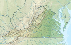
| Coordinates | 38°54′N77°24′W / 38.9°N 77.4°W |
| Approximate paleocoordinates | 13°18′N21°48′W / 13.3°N 21.8°W |
| Region | Maryland, Virginia |
| Country | United States |
| Extent | Culpeper Basin |
The Bull Run Formation is a Late Triassic (Norian) stratigraphic unit in the eastern United States. [1] Fossil fish bones and scales have been found in outcrops of the formation's Groveton Member in Manassas National Battlefield Park. [2] Indeterminate fossil ornithischian tracks have been reported from the formation. [3]
Contents
The Bull Run Formation was once considered part of the Culpeper Group of the Newark Supergroup, but the United States Geological Survey no longer formally recognizes this formation (it is abandoned). [4]

