
Brampton Meadow is a one hectare biological Site of Special Scientific Interest north-west of Brampton in Cambridgeshire, England.
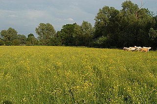
Houghton Meadows is a 4.7-hectare (12-acre) biological Site of Special Scientific Interest (SSSI) between Houghton and St Ives in Cambridgeshire. The SSSI covers three meadows south of Thicket Road; they are part of the 8-hectare (20-acre) Houghton Meadows nature reserve, which is owned and managed by the Wildlife Trust for Bedfordshire, Cambridgeshire and Northamptonshire, and which also includes Browns Meadow to the south.

Upwood Meadows is a 6 hectare biological Site of Special Scientific Interest west of Upwood in Cambridgeshire. It is also a National Nature Reserve and a Grade I Nature Conservation Review site. It is managed by the Wildlife Trust for Bedfordshire, Cambridgeshire and Northamptonshire.

Southorpe Meadow is a 2 hectares biological Site of Special Scientific Interest in Southorpe in Cambridgeshire. It is managed by the Wildlife Trust for Bedfordshire, Cambridgeshire and Northamptonshire.

Sheet Hedges Wood is in the parish of Newtown Linford, and lies some 1-mile (1.6 km) north of Groby, in Leicestershire, UK. The site is made up of two areas of woodland and a meadow field, all with public access, extending 29 acres (120,000 m2). The woodland block is adjacent to the road includes a car park and access trails.

Fox Fritillary Meadow is a 2.4-hectare (5.9-acre) biological Site of Special Scientific Interest north of Framsden in Suffolk. It is owned and managed by the Suffolk Wildlife Trust.

Sawston Hall Meadows is a 7.4-hectare (18-acre) biological Site of Special Scientific Interest in Sawston in Cambridgeshire.

Godmanchester Eastside Common is a 29.7-hectare (73-acre) biological Site of Special Scientific Interest east of Godmanchester in Cambridgeshire. The site is registered common land.

Hemingford Grey Meadow is a 0.7-hectare (1.7-acre) biological Site of Special Scientific Interest south of Hemingford Grey in Cambridgeshire. It is managed by the Wildlife Trust for Bedfordshire, Cambridgeshire and Northamptonshire as Arthur's Meadow.

Portholme is a 106-hectare (260-acre) biological Site of Special Scientific Interest in the Parish of Brampton between Huntingdon and Godmanchester in Cambridgeshire, England. It is a Nature Conservation Review site, and a Special Area of Conservation.

Castor Flood Meadows is a 41.8-hectare (103-acre) biological Site of Special Scientific Interest on the western outskirts of Peterborough in Cambridgeshire.
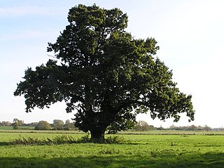
Mill Crook is a 5.9-hectare (15-acre) biological Site of Special Scientific Interest east of Towcester in Northamptonshire. Mill Crook and Grafton Regis Meadow are a 7.9-hectare (20-acre) nature reserve managed by the Wildlife Trust for Bedfordshire, Cambridgeshire and Northamptonshire.

Little Catworth Meadow is a 5.2-hectare (13-acre) biological Site of Special Scientific Interest between Catworth and Spaldwick in Cambridgeshire.

Alder Wood and Meadow is a 13.2-hectare (33-acre) biological Site of Special Scientific Interest south-west of Corby in Northamptonshire.
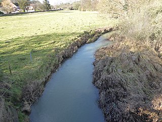
River Ise and Meadows is a 13.5-hectare (33-acre) biological Site of Special Scientific Interest along the River Ise in Northamptonshire between Geddington and the Kettering to Corby railway line east of Rushton.

Calender Meadows is a 3.1-hectare (7.7-acre) biological Site of Special Scientific Interest north of Guilsborough in Northamptonshire.
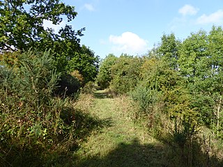
Cribb's Meadow is a 4.2-hectare (10-acre) nature reserve east of Wymondham in Leicestershire. It is owned and managed by the Leicestershire and Rutland Wildlife Trust, and is designated a biological Site of Special Scientific Interest under the name Cribb's Lodge Meadows. It is also a National Nature Reserve and a Nature Conservation Review site, Grade 2.
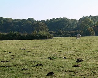
Debdale Meadow, Muston is a 4.3-hectare (11-acre) biological Site of Special Scientific Interest north of Muston in Leicestershire.

