
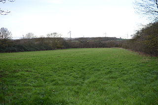
Brampton Meadow is a one hectare biological Site of Special Scientific Interest north-west of Brampton in Cambridgeshire, England.

Dogsthorpe Star Pit is a 36.4-hectare (90-acre) biological Site of Special Scientific Interest (SSSI)) on the eastern outskirts of Peterborough in Cambridgeshire. It is also designated a Local Nature Reserve, and it is managed by the Wildlife Trust for Bedfordshire, Cambridgeshire and Northamptonshire.

Southorpe Meadow is a 2 hectares biological Site of Special Scientific Interest in Southorpe in Cambridgeshire. It is managed by the Wildlife Trust for Bedfordshire, Cambridgeshire and Northamptonshire.

Southorpe Paddock is a 1.6-hectare (4.0-acre) Site of Special Scientific Interest south of Southorpe in Cambridgeshire. It is managed by the Wildlife Trust for Bedfordshire, Cambridgeshire and Northamptonshire.

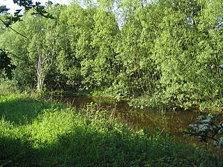
Woodwalton Marsh is a 0.8-hectare (2.0-acre) biological Site of Special Scientific Interest north-east of Woodwalton in Cambridgeshire. It is managed by the Wildlife Trust for Bedfordshire, Cambridgeshire and Northamptonshire.

Maulden Church Meadow is a 4.1-hectare (10-acre) biological Site of Special Scientific Interest in Maulden in Bedfordshire. It was notified in 1987 under section 28 of the Wildlife and Countryside Act 1981, and the local planning authority is Central Bedfordshire Council. Most of it is also a Local Nature Reserve, owned and managed by Central Bedfordshire Council.
Yelden Meadows is a 2.8-hectare (6.9-acre) biological Site of Special Scientific Interest in Yelden in Bedfordshire. It was notified under Section 28 of the Wildlife and Countryside Act 1981, and the local planning authority is Bedford Borough Council.

Whitewater Valley is a 4.3-hectare (11-acre) biological Site of Special Scientific Interest north-west of Wittering in Cambridgeshire.

Godmanchester Eastside Common is a 29.7-hectare (73-acre) biological Site of Special Scientific Interest east of Godmanchester in Cambridgeshire. The site is registered common land.

Orton Pit is a 145.8-hectare (360-acre) biological Site of Special Scientific Interest on the southern outskirts of Peterborough in Cambridgeshire. It is also a Special Area of Conservation
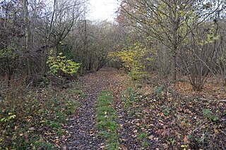
Brackland Rough is a 10.7-hectare (26-acre) biological Site of Special Scientific Interest in Fordham in Cambridgeshire. It is managed by the Wildlife Trust for Bedfordshire, Cambridgeshire and Northamptonshire as Fordham Woods.
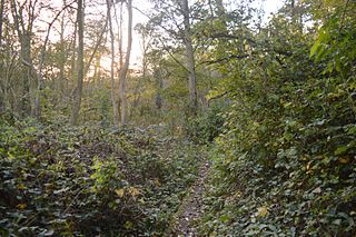
Papworth Wood is an 8.7-hectare (21-acre) biological Site of Special Scientific Interest in Papworth Everard in Cambridgeshire.

St Neots Common is a 33.4-hectare (83-acre) biological Site of Special Scientific Interest in St Neots in Cambridgeshire.

Gog Magog Golf Course is an 88.4-hectare (218-acre) biological Site of Special Scientific Interest on Gog Magog Golf Club south-east of Cambridge in Cambridgeshire.

Banhaw, Spring and Blackthorn's Woods is a 123.4-hectare (305-acre) biological Site of Special Scientific Interest east of Corby in Northamptonshire.

Mill Crook is a 5.9-hectare (15-acre) biological Site of Special Scientific Interest east of Towcester in Northamptonshire. Mill Crook and Grafton Regis Meadow are a 7.9-hectare (20-acre) nature reserve managed by the Wildlife Trust for Bedfordshire, Cambridgeshire and Northamptonshire.

Calender Meadows is a 3.1-hectare (7.7-acre) biological Site of Special Scientific Interest north of Guilsborough in Northamptonshire.

Terrace Hills Pasture is an 11.3-hectare (28-acre) biological Site of Special Scientific Interest north of Eastwell in Leicestershire.

Lount Meadows is a 8.5 hectares biological Site of Special Scientific Interest south of Lount in Leicestershire, England.
Wymondham Rough is a 6.0 hectares biological Site of Special Scientific Interest (SSSI) east of Stapleford in Leicestershire. The SSSI is part of the 12.5 hectare Wymondham Rough nature reserve, which is managed by the Leicestershire and Rutland Wildlife Trust.
