
Gamlingay Wood is a 48.4-hectare (120-acre) biological Site of Special Scientific Interest (SSSI) north of Gamlingay in Cambridgeshire. It is managed by the Wildlife Trust for Bedfordshire, Cambridgeshire and Northamptonshire.
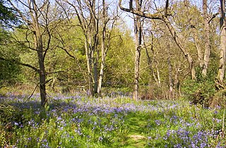
Hayley Wood is a 51.7-hectare (128-acre) biological Site of Special Scientific Interest south-east of Great Gransden in Cambridgeshire. It is a Nature Conservation Review site, Grade 1, and it is managed by the Wildlife Trust for Bedfordshire, Cambridgeshire and Northamptonshire. It was the subject of a book by the academic and woodland expert Oliver Rackham, listed below, who regularly visited and recorded his observations of the woodland in his notebooks.
Launde Big Wood is a 41.1 hectares biological Site of Special Scientific Interest east of Leicester. It is part of Launde Woods nature reserve, which is owned by the Leicester Diocesan Board of Finance and managed by the Leicestershire and Rutland Wildlife Trust.

Combs Wood is a 15.1 hectares biological Site of Special Scientific Interest on the southern outskirts of Stowmarket in Suffolk. It is owned and managed by the Suffolk Wildlife Trust.

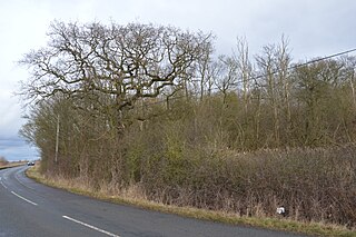
Hanger Wood is an ancient woodland and Site of Special Scientific Interest (SSSI) in the parish of Stagsden, Bedfordshire in the United Kingdom. Situated approximately one kilometre east of the village of Stagsden, the 24.12 hectares woodland was declared a SSSI in 1988, being described by Natural England as "one of the best remaining examples of wet ash-maple woodland in Bedfordshire". The name "Hanger" comes from Old English/Anglo-Saxon term for "wood on a hill" or "wooded hill", applied to Hanger Wood due to its situation on a northwest-facing slope of a narrow ridge. Commenting on the wood's character, A. Simco said in 1984 that "It has been strongly influenced by the geology and topography of the area, particularly by the south-west/north-east boulder clay ridge along which the parish boundary runs."

Kings Wood and Glebe Meadows is a 36.1-hectare (89-acre) Site of Special Scientific Interest in Houghton Conquest in Bedfordshire. A local teenage boy, Peter Sollars, discovered many rich communities of plants there, including a number of rare species, e.g. Butcher's Broom, Small Teasel and Green Hellebore in the wood, and combinations of Lady's Bedstraw, Spiny Restharrow, Great Burnet, Adders Tongue Fern and Cowslips in the meadows. The County Botanist at the time, John Dony, was notified of his findings, which were confirmed by a site visit with Peter. The site was notified in 1984 under the Wildlife and Countryside Act 1981, and the planning authority is Central Bedfordshire. It is also a Local Nature Reserve.

Little Paxton Wood is a 44.1-hectare biological Site of Special Scientific Interest west of Little Paxton in Cambridgeshire.

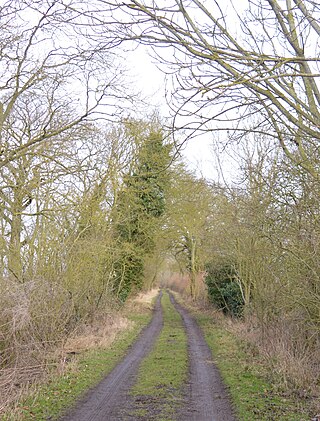
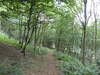
Aversley Wood is a 62.3 hectares biological Site of Special Scientific Interest south-west of Sawtry in Cambridgeshire. It is owned and managed by the Woodland Trust.

Kingston Wood and Outliers is a 47.4-hectare (117-acre) biological Site of Special Scientific Interest south-west of Kingston in Cambridgeshire. The site comprises Kingston Wood itself, Pincote Wood, Hawk's Wood and Lady Pastures Spinney.
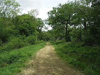
Pipewell Woods is an 85.3-hectare (211-acre) biological Site of Special Scientific Interest south-west of Corby in Northamptonshire. It is composed of Pipewell Wood itself, Little Haws Wood, Foxhole Wood, Barrowdykes Wood, Monk's Arbour Wood and Rawhaw Wood. It is a Nature Conservation Review site, Grade 2.

Park Wood is an 8.1-hectare (20-acre) biological Site of Special Scientific Interest east of Brinkley in Cambridgeshire.

Ten Wood is a 17.7-hectare (44-acre) biological Site of Special Scientific Interest east of Burrough Green in Cambridgeshire.
Weaveley and Sand Woods is a 62.0-hectare (153-acre) biological Site of Special Scientific Interest north of Gamlingay in Cambridgeshire.

Alder Wood and Meadow is a 13.2-hectare (33-acre) biological Site of Special Scientific Interest south-west of Corby in Northamptonshire.

Stoke and Bowd Lane Woods is a 36.4-hectare (90-acre) biological Site of Special Scientific Interest west of Corby in Northamptonshire. The eastern half of Stoke Wood is managed by the Woodland Trust, a triangular area of 0.7 hectares which stretches south from the middle is the Stoke Wood End Quarter, a nature reserve managed by the Wildlife Trust for Bedfordshire, Cambridgeshire and Northamptonshire, and the remaining western part of the wood is private property. Bowd Lane Wood is private property.

Short Wood and Southwick Wood is a 54.7-hectare (135-acre) nature reserve north-west of Oundle in Northamptonshire. It is managed by the Wildlife Trust for Bedfordshire, Cambridgeshire and Northamptonshire. Short Wood is a 25.3-hectare (63-acre) biological Site of Special Scientific Interest.

Over and Lawn Woods is a 43.3-hectare (107-acre) biological Site of Special Scientific Interest north-west of Haverhill in Suffolk. It is listed by Natural England as a Suffolk site but most of Over Wood is in Cambridgeshire.

Bangrove Wood is an 18.6-hectare (46-acre) biological Site of Special Scientific Interest north of Ixworth in Suffolk, England.
Harby Hill Wood is a 16.9-hectare (42-acre) biological Site of Special Scientific Interest west of Eastwell in Leicestershire.

Pasture and Asplin Woods is a 40.9 hectares biological Site of Special Scientific Interest west of Belton in Leicestershire.
