Carlisle-Rockledge, Alabama | |
|---|---|
 Carlisle-Rockledge | |
| Coordinates: 34°06′52″N86°07′27″W / 34.11444°N 86.12417°W | |
| Country | United States |
| State | Alabama |
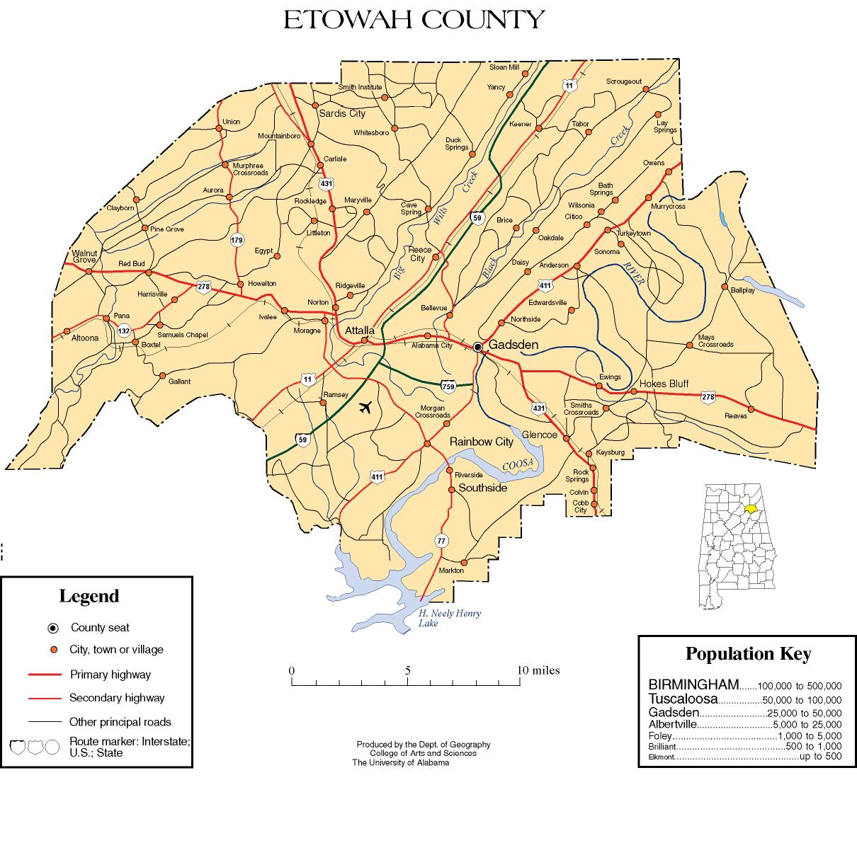
| County | Etowah |
| Area | |
• Total | 16.20 sq mi (41.97 km2) |
| • Land | 16.20 sq mi (41.96 km2) |
| • Water | 0.0039 sq mi (0.01 km2) |
| Elevation | 1,030 ft (310 m) |
| Population (2020) | |
• Total | 2,167 |
| • Density | 133.8/sq mi (51.65/km2) |
| Time zone | UTC-6 (Central (CST)) |
| • Summer (DST) | UTC-5 (CDT) |
| Area codes | 256 & 938 |
| FIPS code | 01-12070 |
| GNIS feature ID | 2582667 [2] |
Carlisle-Rockledge is a census-designated place in Etowah County, Alabama, United States. The CDP includes the communities of Carlisle and Rockledge, both of which are located along U.S. Route 431 in northwest Etowah County. [3] Its population was 2,137 as of the 2010 census. [4]
