Cartney, Arkansas | |
|---|---|
 Cartney, Arkansas Cartney's position in Arkansas  Cartney, Arkansas Cartney, Arkansas (the United States) | |
| Coordinates: 36°11′40″N92°22′57″W / 36.19444°N 92.38250°W | |
| Country | United States |
| State | |
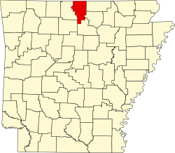
| County | Baxter |
| Elevation | 417 ft (127 m) |
| Time zone | UTC-6 (Central (CST)) |
| • Summer (DST) | UTC-5 (CDT) |
| GNIS feature ID | 71023 [1] |
Cartney is an unincorporated community in Baxter County, Arkansas, United States. [1] The community is located along the White River and the Missouri and Northern Arkansas Railroad. [2]
The rural crossroads was initially known as Hayney, named after an early postmaster. Early commerce centered around harvesting cedar trees and floating them downriver, and later a large early rubber tire company. Cartney later became home to a commercial marble mine and supporting community. Pink and gray marble from Cartney was used in the Missouri State Capitol and the United States Capitol. [3]