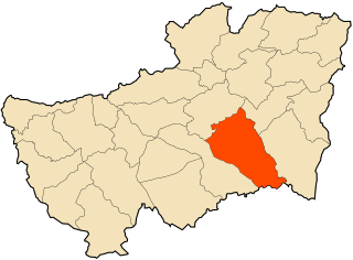
Chaiba | |
|---|---|
Commune and town | |
 Location of Chaiba within Tipaza Province | |
| Country | |
| Province | Tipaza Province |
| Time zone | UTC+1 (CET) |
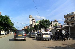
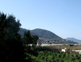
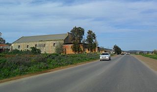
Chaiba is a town and commune in Tipaza Province in northern Algeria. [1]
Chaiba | |
|---|---|
Commune and town | |
 Location of Chaiba within Tipaza Province | |
| Country | |
| Province | Tipaza Province |
| Time zone | UTC+1 (CET) |
Chaiba is a town and commune in Tipaza Province in northern Algeria. [1]

Aïn Benian is a commune in Algiers Province and suburb of the city of Algiers in northern Algeria. As of the 2008 census, the commune had a population of 68,354.
Baba Hassen is a commune in Algiers Province and a suburb of the city of Algiers in northern Algeria. As of the 2008 census, the commune had a population of 23,756.
Beni Messous is a commune in Algiers Province and suburb of the city of Algiers in northern Algeria. As of the 2008 census, the commune had a population of 36,191.
Kouroulamini is a commune in the Cercle of Bougouni in the Sikasso Region of southern Mali. The principal town lies at N'Tentou. In 1998 the commune had a population of 3,128.

Cổ Linh is a rural commune (xã) of Pác Nặm District, Bắc Kạn Province, in Vietnam.
Phong Minh is a commune (xã) and village in Lục Ngạn District, Bắc Giang Province, in northeastern Vietnam.

Birtouta is a town and commune in Algiers Province, Algeria. As of 2008, the commune had a total population of 30,575.

Hammamet or El Hammamet is a town and commune in Algiers Province, Algeria. In 1998 the commune had a total population of 15,879.
Ouled Brahim is a town and commune in Médéa Province, Algeria. According to the 1998 census, it has a population of 9,870.

Taoura, known in antiquity as Thagora, is a town and commune in Souk Ahras Province in north-eastern Algeria.

Ahmar El Ain is a town and commune in Tipaza Province in northern Algeria.

Ain Tagourait is a town and commune in Tipaza Province in northern Algeria.

Bourkika is a town and commune in Tipaza Province in northern Algeria. The territory of the municipality is located to the southeast of the wilaya, at 36.4931118n, 2.475915e about 18 km southeast of Tipaza. In 1984, Bourkika became part of the commune of Douaouda.

Douaouda is a town and commune in Tipaza Province in northern Algeria.

Messelmoun is a town and commune in Tipaza Province in northern Algeria.

Sidi Amar is a town and commune in Tipaza Province in northern Algeria.

Sidi Rached is a town and commune in Tipaza Province in northern Algeria.

Sidi Semiane is a town and commune in Tipaza Province in northern Algeria.

Aïn El Hammam is a town and commune in Tizi Ouzou Province in northern Algeria.
West Fork is an unincorporated community in Pittsylvania County, in the U.S. state of Virginia.
36°37′28″N2°43′45″E / 36.62444°N 2.72917°E