Charlesville | |
|---|---|
 Charlesville  Charlesville | |
| Coordinates: 45°56′57″N96°16′07″W / 45.94917°N 96.26861°W | |
| Country | United States |
| State | Minnesota |
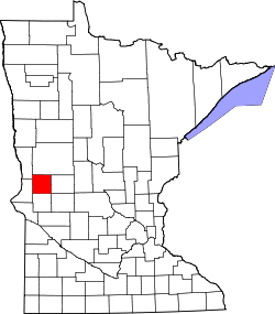
| Counties | Traverse, Grant |
| Elevation | 1,014 ft (309 m) |
| Time zone | UTC-6 (Central (CST)) |
| • Summer (DST) | UTC-5 (CDT) |
| Area code | 320 |
| GNIS feature ID | 654641 [1] |
Charlesville is an unincorporated community in Tintah Township, Traverse County, and North Ottawa Township, Grant County in the U.S. state of Minnesota. [1]