| Charlwood House | |
|---|---|
 | |
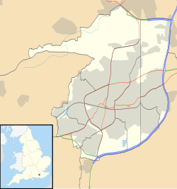 Location within Crawley | |
| General information | |
| Architectural style | Timber-framed Wealden hall house |
| Location | Charlwood Road, Lowfield Heath, Crawley, West Sussex, England |
| Coordinates | 51°09′35″N0°11′50″W / 51.1597°N 0.1971°W |
| Year(s) built | Early 17th century |
Listed Building – Grade II* | |
| Official name | Charlwood House |
| Designated | 11 November 1966 |
| Reference no. | 1187080 |
Charlwood House is an early 17th-century timber-framed country house in Lowfield Heath, Crawley, West Sussex, England. It is a Grade II* listed building which is used as a nursery school. [1]
The tiled roof uses Horsham stone. A substantial extension was built in the same style in the 20th century. [2]