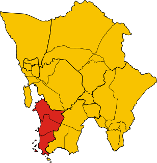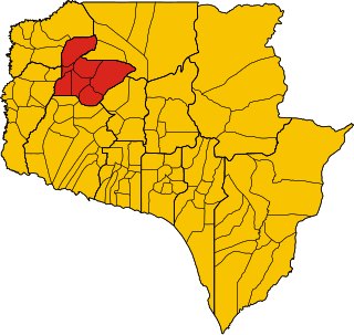
Veal Veng, Khmer: ស្រុកវាលវែង, is a district in Pursat Province, Cambodia. The district capital is Pramoey town located 109 km (68 mi) by road from National Highway Number 5.

Bakan is a district in Pursat province, Cambodia. The district capital is at Trapeang Chong located on National Highway 5 around 15 kilometres north of the provincial capital at Pursat town.

Phnum Kravanh district is a district in Pursat province, Cambodia. In English the name translates to the Cardamom Mountains.

Pursat municipality is a municipality in Pursat province, Cambodia. The provincial capital Pursat is located within the municipality. The municipality was formerly known as Sampov Meas district.

Barsedth is a district (srok) in the south of Kampong Speu Province, in southern Cambodia. The district capital is the town of Barsedth located some 50 kilometres south of the provincial capital of Kampong Speu by road. The district shares a border with Kampot and Takeo provinces to the south. National Highway 3 forms the eastern district boundary. The district is made up of flat farmland and supports extensive agriculture and a large population.

Thma Koul is a district (srok) of Battambang Province, in north-western Cambodia.
Moung Ruessei is a district (srok) of Battambang province, in north-western Cambodia. The capital lies at the town of Moung Ruessei.

Kampong Svay is a district within Kampong Thom province, in central Cambodia. According to the 1998 census of Cambodia, it had a population of 74,843.

Stoung is a district within Kampong Thom Province, in central Cambodia. According to the 1998 census of Cambodia, it had a population of 94,119.

Kiri Sakor District is a district (srok) of Koh Kong Province, in south-western Cambodia. All of Kiri Sakor is part of Botum Sakor National Park since 1993.

Koh Kong District is a district (srok) of Koh Kong Province, in south-western Cambodia. The southern parts of Koh Kong district is part of Botum Sakor National Park since 1993. It comprise roughly one-third of the district.

Banteay Ampil District is a district in Oddar Meanchey province in northern Cambodia. According to the 1998 census of Cambodia, it had a population of 27,075.

Samraong municipality is a municipality in Oddar Meanchey province in northern Cambodia. It is the urban part of the province. The provincial capital Samraong lies in the district. According to the 1998 census of Cambodia, it had a population of 22,361.

Choam Khsant District is a district located in Preah Vihear Province, in northern Cambodia. The district capital is at Cheom Ksan town, near the Thai border. Cambodia's famous Preah Vihear Temple is located in this district of the Preah Vihear province. According to the 1998 census of Cambodia, it had a population of 16,073.

Stung Treng municipality is a municipality located in Stung Treng province, in north-east Cambodia. According to the 2019 census of Cambodia, it had a population of 37,103. The provincial capital Stung Treng town is located within the municipality.

Angkor Chum District is a district of Siem Reap Province, in north western Cambodia. According to the 1998 census of Cambodia, it had a population of 48,476.
Ek Phnom is a district (srok) of Battambang Province, in north western Cambodia. The name means "only hill" in Khmer.

Phnom Srok is a district (srok) in the east of Banteay Meanchey province, in north-western Cambodia. The district capital is Phnom Srok town located around 52 kilometres north east of the provincial capital of Sisophon by road. Phnom Srok district is the easternmost district of Banteay Meanchey. The district shares a border with both Siem Reap province and Oddar Meanchey province to the east. There are no major roads within the district and it is quite isolated.

Sihanoukville Municipality, also Preah Sihanouk Municipality, is one of the four districts of Sihanoukville Province in Cambodia. In 1998, it had an urban population of 67,440. In addition to the city of Sihanoukville and the Sihanoukville Autonomous Port, the islands Koh Puos, Koh Preab, Koh Doung, Koh Kaong Kang, Koh Tres, Koh Koun, Koh Tuich, Koh Rong, and Koh Rong Sanloem are under Sihanoukville’s administration.

Stueng Hav District is one of four districts (srok) of Sihanoukville province in Cambodia. In 1998, it had a population of 13,108.


