Cimitarra

Last updated
Cimitarra
Municipality and town
Flag of Cimitarra (Santander).svg
Colombia - Santander - Cimitarra.svg
Location of the municipality and town of Cimitarra in the Santander Department of Colombia.
CountryFlag of Colombia.svg  Colombia
Department Santander Department
Population
 (2020 est. [1] )
  Total50,892
Time zone UTC-5 (Colombia Standard Time)

Cimitarra is a town and municipality in the Santander Department in northeastern Colombia.

Climate

Cimitarra has a tropical rainforest climate (Köppen: Af). [2]

Climate data for Cimitarra, elevation 300 m (980 ft), (1981–2010)
MonthJanFebMarAprMayJunJulAugSepOctNovDecYear
Mean daily maximum °C (°F)31.9
(89.4)
32.1
(89.8)
31.8
(89.2)
31.8
(89.2)
31.6
(88.9)
31.7
(89.1)
32.0
(89.6)
32.1
(89.8)
31.8
(89.2)
31.4
(88.5)
31.4
(88.5)
31.5
(88.7)
31.7
(89.1)
Daily mean °C (°F)27.2
(81.0)
27.2
(81.0)
27.2
(81.0)
27.0
(80.6)
27.1
(80.8)
27.1
(80.8)
27.3
(81.1)
27.3
(81.1)
27.1
(80.8)
26.9
(80.4)
26.9
(80.4)
27.0
(80.6)
27.1
(80.8)
Mean daily minimum °C (°F)22.2
(72.0)
22.2
(72.0)
22.3
(72.1)
22.2
(72.0)
22.1
(71.8)
22.1
(71.8)
21.8
(71.2)
21.9
(71.4)
21.9
(71.4)
21.8
(71.2)
22.0
(71.6)
22.2
(72.0)
22.1
(71.8)
Average precipitation mm (inches)125.3
(4.93)
157.0
(6.18)
261.6
(10.30)
307.3
(12.10)
281.3
(11.07)
183.3
(7.22)
160.3
(6.31)
194.8
(7.67)
278.5
(10.96)
343.2
(13.51)
320.0
(12.60)
194.9
(7.67)
2,714.7
(106.88)
Average precipitation days91115171816161718191713180
Average relative humidity (%)84848585858584848485858585
Mean monthly sunshine hours 186.0163.7136.4147.0176.7183.0204.6207.7180.0176.7165.0173.62,100.4
Mean daily sunshine hours 6.05.84.44.95.76.16.66.76.05.75.55.65.8
Source: Instituto de Hidrologia Meteorologia y Estudios Ambientales [3]

Related Research Articles

<span class="mw-page-title-main">Tangamandapio</span> Place in Michoacán, Mexico

Santiago Tangamandapio, known as Tangamandapio, is a municipality in the Mexican state of Michoacán. It is located 165 km from the state capital of Morelia. The geographic coordinates are: 19° 57' North latitude and 102° 26' West longitude. Tangamandapio Municipality also includes the community of Tarécuato.

Barberena is a town, with a population of 47,093, and a municipality in Santa Rosa department of Guatemala. Filled with local vendors and stores selling American goods, Barberena is a small town typical of the Guatemalan countryside.

<span class="mw-page-title-main">San Agustín, Huila</span> Municipality and town in Huila Department, Colombia

San Agustín is a town and municipality in the southern Colombian Department of Huila. The town is located 227 km away from the capital of the Department, Neiva. Population is around 34,000. The village was founded in 1752 by Alejo Astudillo but attacks by indigenous people destroyed it. The present village was founded in 1790 by Lucas de Herazo y Mendigaña.

<span class="mw-page-title-main">Sutatenza</span> Municipality and town in Boyacá Department, Colombia

Sutatenza is a town and municipality in the Eastern Boyacá Province of the department of Boyacá, Colombia. It is located 125 kilometres (78 mi) from the Colombian capital Bogotá and 118 kilometres (73 mi) from the department capital Tunja. Sutatenza borders Somondoco, Guateque, Tenza and Garagoa.

Eston is a town in the Rural Municipality of Snipe Lake No. 259, Saskatchewan, Canada. The population was 1061 at the 2016 Census. The town is located at the junction of Highway 30 and Highway 44 approximately 70 kilometres (43 mi) south-east of Kindersley. Eston Riverside Regional Park is 21 kilometres (13 mi) south of town on the north bank of the South Saskatchewan River.
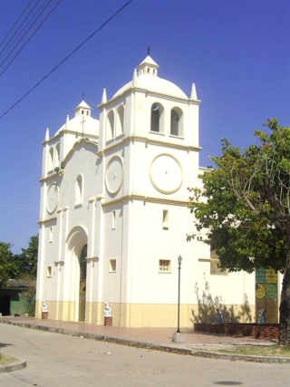
<span class="mw-page-title-main">Chiriguaná</span> Place in Caribbean, Colombia

Chiriguaná is a city and municipality in the Department of Cesar, Colombia.

<span class="mw-page-title-main">Santa Lucía, Atlántico</span> Municipality and town in Caribbean, Colombia

Santa Lucía is a municipality and town in the Colombian department of Atlántico. The town is located on the north bank of the Dique Canal.

<span class="mw-page-title-main">Simití</span> Municipality and town in Bolívar Department, Colombia

Simiti is a town and municipality located in the Bolívar Department, northern Colombia.

<span class="mw-page-title-main">La Playa de Belén</span> Municipality and town in Norte de Santander Department, Colombia

La Playa or La Playa de Belén is a Colombian municipality in the department of North Santander.
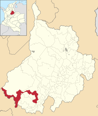
<span class="mw-page-title-main">Bolívar, Santander</span> Municipality and town in Santander Department, Colombia

Bolívar is a town and municipality in the Santander Department in northeastern Colombia.

<span class="mw-page-title-main">Charalá</span> Municipality and town in Santander Department, Colombia

Charalá is a town and municipality in the south of the department of Santander in northeastern Colombia. Its antipode is located within the capital of Indonesia, Jakarta.

<span class="mw-page-title-main">Gámbita</span> Municipality and town in Santander Department, Colombia

Gámbita is a municipality in the department of Santander, Colombia, is part of the Comunera province. The municipality has a land area of 606.1 km2 and is formed by the corresponding municipal seat to the urban area, 20 villages and district of La Palma.
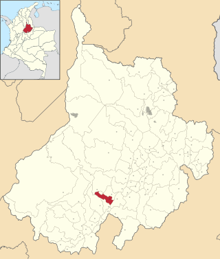
<span class="mw-page-title-main">El Guacamayo</span> Municipality and town in Santander Department, Colombia

El Guacamayo is a town and municipality in the Santander Department in northeastern Colombia.
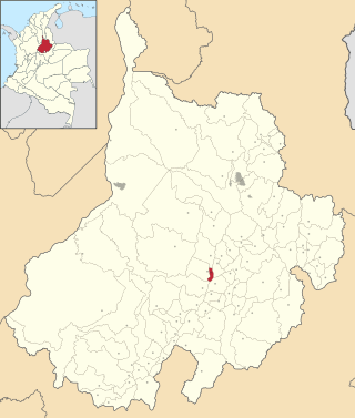
<span class="mw-page-title-main">Palmar, Santander</span> Municipality and town in Santander Department, Colombia

Palmar is a town and municipality in the Santander Department in northeastern Colombia.

<span class="mw-page-title-main">Sucre, Santander</span> Municipality and town in Santander Department, Colombia

Sucre is a town and municipality in the Santander Department in northeastern Colombia.

<span class="mw-page-title-main">Campohermoso</span> Municipality and town in Boyacá Department, Colombia

Campohermoso is a town and municipality in the Colombian Department of Boyacá, part of the subregion of the Lengupá Province.

<span class="mw-page-title-main">Cubarral</span> Municipality and town in Meta Department, Colombia

Cubarral is a town and municipality in the Meta Department, Colombia. The municipality of Guamal borders Cubarral to the north, to the west is bordered by the department of Cundinamarca, to the east by the municipality of San Martín and to the south by the municipality of El Dorado. Furthermore, According to DANE projections from the 2005 census, Cubarral would have a population of approximately 5946 people by 2015.

<span class="mw-page-title-main">Guamal, Meta</span> Municipality and town in Meta Department, Colombia

Guamal is a town and municipality in the Meta Department, Colombia.

<span class="mw-page-title-main">Mesetas</span> Municipality and town in Meta Department, Colombia

Mesetas is a town and municipality in the Meta Department, Colombia.

<span class="mw-page-title-main">Restrepo, Meta</span> Municipality and town in Meta Department, Colombia

Restrepo is a town and municipality in the Meta Department, Colombia.

References

  1. "Resultados y proyecciones (2005-2020) del censo 2005" . Retrieved 12 April 2020.
  2. "Table 1 Overview of the Köppen-Geiger climate classes including the defining criteria". Nature: Scientific Data. 23 October 2023.
  3. "Promedios Climatológicos 1981–2010" (in Spanish). Instituto de Hidrologia Meteorologia y Estudios Ambientales. Archived from the original on 15 August 2016. Retrieved 17 June 2024.

6°19′N73°57′W / 6.317°N 73.950°W / 6.317; -73.950