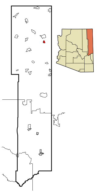
Dexter (CDP), Maine

Last updated

Dexter, Maine
USA Maine location map.svg
Red pog.svg
Dexter
Usa edcp location map.svg
Red pog.svg
Dexter
Coordinates: 45°1′14″N69°17′33″W / 45.02056°N 69.29250°W / 45.02056; -69.29250
CountryUnited States
State Maine
County Penobscot
Area
[1]
  Total
5.31 sq mi (13.75 km2)
  Land4.72 sq mi (12.23 km2)
  Water0.59 sq mi (1.52 km2)
Elevation
417 ft (127 m)
Population
 (2020)
  Total
2,093
  Density443.24/sq mi (171.14/km2)
Time zone UTC-5 (Eastern (EST))
  Summer (DST) UTC-4 (EDT)
ZIP Code
04930
Area code 207
FIPS code 23-17495
GNIS feature ID0565079

Dexter is a census-designated place (CDP) comprising the main settlement within the town of Dexter in Penobscot County, Maine, United States. The population of the CDP was 2,158 at the 2010 census. [2]

Contents

Geography

Dexter is located at 45°1′14″N69°17′32″W / 45.02056°N 69.29222°W / 45.02056; -69.29222 (45.020594, −69.292374). [3]

According to the United States Census Bureau, the CDP has a total area of 5.3 square miles (13.8 km2), of which 4.8 square miles (12.3 km2) is land and 0.6 square miles (1.5 km2), or 10.86%, is water.

Demographics

Historical population
CensusPop.Note
2020 2,093
U.S. Decennial Census [4]

As of the census [5] of 2000, there were 2,201 people, 968 households, and 623 families residing in the CDP. The population density was 462.3 inhabitants per square mile (178.5/km2). There were 1,151 housing units at an average density of 241.8 per square mile (93.4/km2). The racial makeup of the CDP was 98.23% White, 0.55% Black or African American, 0.09% Native American, 0.18% Asian, and 0.95% from two or more races. Hispanic or Latino of any race were 0.77% of the population.

There were 968 households, out of which 26.5% had children under the age of 18 living with them, 48.2% were married couples living together, 11.4% had a female householder with no husband present, and 35.6% were non-families. 31.3% of all households were made up of individuals, and 16.3% had someone living alone who was 65 years of age or older. The average household size was 2.25 and the average family size was 2.76.

In the CDP, the population was spread out, with 23.1% under the age of 18, 7.7% from 18 to 24, 24.4% from 25 to 44, 26.3% from 45 to 64, and 18.5% who were 65 years of age or older. The median age was 41 years. For every 100 females, there were 88.9 males. For every 100 females age 18 and over, there were 83.2 males.

The median income for a household in the CDP was $23,779, and the median income for a family was $31,019. Males had a median income of $27,031 versus $17,670 for females. The per capita income for the CDP was $13,397. About 15.6% of families and 20.3% of the population were below the poverty line, including 30.7% of those under age 18 and 12.4% of those age 65 or over.

Related Research Articles

<span class="mw-page-title-main">Tsaile, Arizona</span> Census-designated place in Arizona, United States

Tsaile is a census-designated place (CDP) in Apache County, Arizona, United States, on the Navajo Nation. The population was 1,205 at the 2010 census.

<span class="mw-page-title-main">New Kingman-Butler, Arizona</span> CDP in Mohave County, Arizona

New Kingman-Butler is an unincorporated community and census-designated place (CDP) in Mohave County, Arizona, United States, directly north of and bordering the city of Kingman. The population was 12,907 as of the 2020 census.

<span class="mw-page-title-main">San Lucas, California</span> Census-designated place in California, United States

San Lucas is an unincorporated community and census-designated place (CDP) in Monterey County, California, United States. It was founded in 1886 and named after the Rancho San Lucas, which was granted in 1842. The post office was first established in 1892.

<span class="mw-page-title-main">Sunnyslope, California</span> Place in California, United States

Sunnyslope was a census-designated place (CDP) in Riverside County, California, United States. The population was 5,153 at the 2010 census, up from 4,437 at the 2000 census. On July 1, 2011, the CDP became part of the City of Jurupa Valley.

<span class="mw-page-title-main">London, California</span> Census designated place in California, United States

London is a census designated place (CDP) in Tulare County, California, United States. The population was 1,869 at the 2010 census, up from 1,848 at the 2000 census.

<span class="mw-page-title-main">Highland Acres, Delaware</span> CDP in Delaware, United States

Highland Acres is a census-designated place (CDP) in Kent County, Delaware, United States. It is part of the Dover, Delaware Metropolitan Statistical Area. The population was 3,459 at the 2010 census.

<span class="mw-page-title-main">Ponemah, Minnesota</span> Census-designated place in Minnesota, US

Ponemah is a census-designated place (CDP) within the Lower Red Lake unorganized territory in Beltrami County, Minnesota, United States. The population was 724 at the 2010 census.

<span class="mw-page-title-main">Clinton, Montana</span> Census-designated place in Montana, United States

Clinton is an unincorporated community and census-designated place (CDP) in Missoula County, Montana, United States. It is part of the Missoula metropolitan area. The population was 1,018 at the 2020 census.

<span class="mw-page-title-main">Wesley Chapel South, Florida</span> Unincorporated community in Florida, United States

Wesley Chapel South is an unincorporated community in Pasco County, Florida, United States. The population was 3,245 at the 2000 census.

<span class="mw-page-title-main">Presidential Lakes Estates, New Jersey</span> Populated place in Burlington County, New Jersey, US

Presidential Lakes Estates is an unincorporated community and census-designated place (CDP) located within Pemberton Township, in Burlington County, in the U.S. state of New Jersey. As of the 2010 United States Census, the CDP's population was 2,365.

<span class="mw-page-title-main">Weallup Lake, Washington</span> Former CDP in Washington, United States

Weallup Lake is a former census-designated place (CDP) in Snohomish County, Washington, United States. The population was 882 at the 2000 census. The CDP was discontinued at the 2010 census.
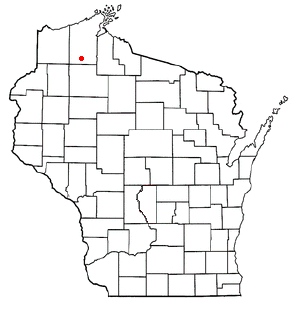
<span class="mw-page-title-main">Cable, Wisconsin</span> Town in Wisconsin, United States

Cable is a town in Bayfield County, Wisconsin, United States. Its population was 853 at the 2020 census, up from 825 at the 2010 U.S. census. The census-designated place of Cable and the unincorporated communities of Leonards and Radspur are located in the town.

<span class="mw-page-title-main">Van Buren (CDP), Maine</span> Census-designated place in Maine, United States

Van Buren is a census-designated place (CDP) comprising the main village within the town of Van Buren in Aroostook County, Maine, United States. The population of the CDP was 1,937 at the 2010 census, out of a population of 2,171 for the entire town.

Big Flats is an unincorporated community and census-designated place (CDP) within the town of Big Flats in Chemung County, New York, United States. The population of the CDP was 5,277 at the 2010 census, out of a total population in the town of 7,595.

Newport is a census-designated place (CDP) consisting of the main area of settlement within the town of Newport in Penobscot County, Maine, United States. The population of the CDP was 1,776 at the 2010 census.
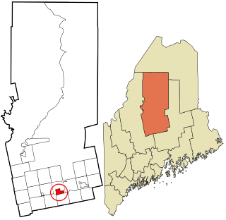
<span class="mw-page-title-main">Dover-Foxcroft (CDP), Maine</span> Census-designated place in Maine, United States

Dover-Foxcroft is a census-designated place (CDP) in the town of Dover-Foxcroft in Piscataquis County, Maine, United States. The population was 2,592 at the 2000 census.

<span class="mw-page-title-main">Guilford (CDP), Maine</span> Census-designated place in Maine, United States

Guilford is a census-designated place (CDP) in the town of Guilford in Piscataquis County, Maine, United States. The population was 945 at the 2000 census.

Topsham is a census-designated place (CDP) in the town of Topsham in Sagadahoc County, Maine, United States. The population was 6,271 at the 2000 census. It is part of the Portland–South Portland–Biddeford, Maine Metropolitan Statistical Area.

Anson is a census-designated place (CDP) in the town of Anson in Somerset County, Maine, United States. The population was 818 at the 2000 census.

Bingham is a census-designated place (CDP) in the town of Bingham in Somerset County, Maine, United States. The population was 856 at the 2000 census.

References

  1. "2020 U.S. Gazetteer Files". United States Census Bureau. Retrieved April 8, 2022.
  2. "Geographic Identifiers: 2010 Demographic Profile Data (G001): Dexter CDP, Maine". U.S. Census Bureau, American Factfinder. Archived from the original on February 12, 2020. Retrieved November 20, 2012.
  3. "US Gazetteer files: 2010, 2000, and 1990". United States Census Bureau. February 12, 2011. Retrieved April 23, 2011.
  4. "Census of Population and Housing". Census.gov. Retrieved June 4, 2016.
  5. "U.S. Census website". United States Census Bureau . Retrieved 2008-01-31.