A ZIP Code is a postal code used by the United States Postal Service (USPS) in a system it introduced in 1963. The term ZIP is an acronym for Zone Improvement Plan; it was chosen to suggest that the mail travels more efficiently and quickly when senders use the code in the postal address. The basic format consists of five digits. An extended ZIP+4 code was introduced in 1983 which includes the five digits of the ZIP Code, followed by a hyphen and four additional digits that reference a more specific location.

The Florida Railroad Museum is a railroad museum located in Parrish, Florida. The museum operates a heritage railroad and offers round-trip tourist excursions along six miles of the former Seaboard Air Line Sarasota Subdivision in Manatee County between Parrish and Willow.

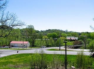
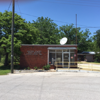
Old Fort is an unincorporated community in Polk County, Tennessee, United States. Old Fort is located along U.S. Route 411, Tennessee State Route 33 and a CSX Transportation line 8.75 miles (14.08 km) south-southwest of Benton. Oldfort has a post office with ZIP code 37362.

Beechgrove, also known as Beech Grove, is an unincorporated community in Coffee County, Tennessee, United States. Beechgrove is located in northwestern Coffee County at the junction of Interstate 24, U.S. Route 41, and State Route 64. Beechgrove has a post office with ZIP code 37018.

Oxford is an unincorporated community in Sumter County, Florida, United States. Its ZIP code is 34484.

Penland is an unincorporated community in Mitchell County, North Carolina, United States. Penland is 2.9 miles (4.7 km) west-northwest of Spruce Pine. Approximately 200 year-round residents live in the community, the center of which is the Penland Road bridge crossing the North Toe River and CSX railroad line.

Island Grove is an unincorporated community in Alachua County, Florida, United States. Its ZIP code is 32654.

Ona is an unincorporated community and census-designated place in Hardee County, Florida, United States. Its population was 314 as of the 2010 census. Ona has a post office with ZIP code 33865, which opened on October 11, 1897. State Road 64 and a CSX Transportation line pass through the community.

Nichols is an unincorporated community in Polk County, Florida, United States, located 11.4 miles (18.3 km) south-southwest of Lakeland. Nichols has a post office with ZIP code 33863. The community is located on a CSX Rail spur on Polk County Road 676, less than one mile south of Florida State Road 60.

Barnesville is an unincorporated community in Robeson County, North Carolina, United States. The community is 7.2 miles (11.6 km) south-southeast of Fairmont. Barnesville had a post office from May 15, 1879, to September 11, 2010; it still has its own ZIP code, 28319.

Marston is an unincorporated community in Richmond County, North Carolina, United States. The community is located on U.S. Route 1, 11.4 miles (18.3 km) east-northeast of Rockingham. Marston had its own post office until November 13, 2010; it still has its own ZIP code, 28363.

Turnersburg is an unincorporated community in Iredell County, North Carolina, United States. The community is located on U.S. Route 21 9.8 miles (15.8 km) north-northeast of Statesville. Turnersburg has a post office with ZIP code 28688.

Argyle is an unincorporated community in Walton County, Florida, United States. The community is located on U.S. Route 90, 4.2 miles (6.8 km) east of DeFuniak Springs. Argyle has a post office with ZIP code 32422.

Clarksville is an unincorporated community in Calhoun County, Florida, United States. The community is located at the intersection of Florida State Road 20 and Florida State Road 73 8.4 miles (13.5 km) west of Blountstown. Clarksville has a post office with ZIP code 32430.

Earleton is an unincorporated community in Alachua County, Florida, United States. The community is located on County Road 1469, 5 miles (8.0 km) southeast of Waldo. Earleton has a post office with ZIP code 32631.

Fairfield is an unincorporated community in Marion County, Florida, United States. The community is located at the junction of County Roads 225 and 316, 3.25 miles (5.23 km) west of Reddick. Fairfield has a post office with ZIP code 32634.

Lochloosa is an unincorporated community in Alachua County, Florida, United States. The community is located on the eastern shore of Lochloosa Lake along U.S. Route 301, 5.6 miles (9.0 km) south of Hawthorne. Lochloosa has a post office with ZIP code 32662, which opened on September 9, 1881.

Sun City is an unincorporated community in Hillsborough County, Florida, United States. The community is located along U.S. Route 41, 4 miles (6.4 km) southwest of Ruskin. Sun City has a post office with ZIP code 33586.

Sydney is an unincorporated community in Hillsborough County, Florida, United States. The community is located along a railroad 5.1 miles (8.2 km) east-northeast of Brandon. Sydney has a post office with ZIP code 33587.

Rockledge is an unincorporated community in Laurens County, Georgia, United States. The community is located along a CSX Transportation line near Georgia State Route 29, 13.8 miles (22.2 km) east-southeast of Dublin. Rockledge has a post office with ZIP code 30454.


