The Tanami Desert is a desert in northern Australia, situated in the Northern Territory and Western Australia.

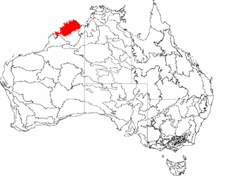
The Northern Kimberley, an interim Australian bioregion, is located in the northern Kimberley region of Western Australia, comprising 8,420,100 hectares.

The Victoria Bonaparte, an interim Australian bioregion, is located in the Northern Territory and Western Australia, comprising 7,301,242 hectares.

Yalgoo is an interim Australia bioregion located in Western Australia, comprising 5,087,577 hectares.

New England Tablelands, an interim Australian bioregion, is located mainly in New South Wales, comprising 3,002,213 hectares, of which 2,860,758 hectares or 95.23 per cent of the bioregion lies within New South Wales; and the residual within Queensland. This bioregion is one of the smaller bioregions in NSW, occupying 3.57 per cent of the state.

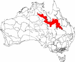
The Mitchell Grass Downs (MGD) is an IBRA biogeographic region, located in the Northern Territory and Queensland, which comprises an area of 33,468,761 hectares with eight subregions.

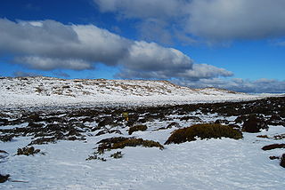
The Tasmanian Central Highlands is an interim Australian bioregion located in central highlands region of Tasmania, comprising 767,849 hectares.

The Tasmanian Northern Midlands is an interim Australian bioregion located in northern midlands region of Tasmania, comprising 415,445 hectares.

The Tasmanian Northern Slopes is an interim Australian bioregion located in the northern region of Tasmania, comprising 623,103 hectares.

Tasmanian West is an interim Australian bioregion located in the western region of Tasmania, comprising 1,565,077 hectares.

The Tasmanian South East is an interim Australian bioregion located in the south-eastern region of Tasmania, comprising 1,131,822 hectares.

The Tasmanian Southern Ranges is an interim Australian bioregion located in the southern region of Tasmania, comprising 757,228 hectares.

King is an interim Australian bioregion located on King Island in Tasmania, Australia comprising 425,567 hectares.

Ben Lomond is an interim Australian bioregion located in the north eastern region of Tasmania, comprising 657,500 hectares.

Burt Plain, an interim Australian bioregion, is located in the Northern Territory, and comprises 7,379,719 hectares.

Mount Isa Inlier, an interim Australian bioregion, is located in the Queensland, and comprises 6,778,263 hectares.
The Pacific Subtropical Islands is an interim biographic region of Australia (IBRA) and comprises Norfolk Island and Lord Howe Island. Its IBRA code is PSI.

Central Mackay Coast, an interim Australian bioregion, is located in Queensland, and comprises 1,464,208 hectares.

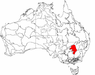
Cobar Peneplain, an interim Australian bioregion, is located in New South Wales, and comprises 7,385,346 hectares.

The Tanami , an interim Australian bioregion, comprises 25,997,277 hectares, and is part of twostate/territories of Australia: the Northern Territory and Western Australia.


