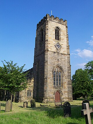
West Bretton is a village and civil parish in the Wakefield, West Yorkshire, England. It lies close to junction 38 of the M1 motorway at Haigh. It has a population of 546, reducing to 459 at the 2011 Census.

Heanor (/ˈhiːnə/) is a town in the Amber Valley district of Derbyshire, England. It lies 8 miles (13 km) north-east of Derby and forms, with the adjacent village of Loscoe, the civil parish and town council-administered area of Heanor and Loscoe, which had a population of 17,251 in the 2011 census.

Darton is a large village in the Metropolitan Borough of Barnsley, on the border with West Yorkshire, England. At the time of the 2001 UK census, it had a population of 14,927, increasing to 21,345 for both Darton Wards at the 2011 Census.

Bircotes is an area in the civil parish of Harworth and Bircotes in the Bassetlaw district of Nottinghamshire, England on the border with South Yorkshire. The population of the civil parish was 7,948. The local school in the area is Serlby Park Academy. Bircotes was founded in the 1920s, with the discovery of coal during the First World War and the establishment of Harworth Colliery, to provide homes for miners. It was home to one of the last deep-mine pits in the UK.

Higham is a village in the Borough of Pendle in Lancashire, England, south of Pendle Hill. The civil parish is named Higham with West Close Booth. The village is 2 miles (3 km) north-east of Padiham and about 4 miles (6 km) south-west of Nelson along the A6068 road.

Bournmoor is a village in County Durham, England, and is situated a short distance from Chester-le-Street.

Harworth is an area and former civil parish, now in the parish of Harworth Bircotes in the Bassetlaw district in Nottinghamshire, England, on the border with South Yorkshire. It is 8 miles (13 km) north of Worksop. The population of the civil parish of Harworth Bircotes was 7,948 in the 2011 Census.

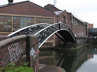
Bordesley is an area of Birmingham, England, 1.2 miles (2 km) south east of the city centre straddling the Watery Lane Middleway ring road. It should not be confused with nearby Bordesley Green. Commercial premises dominate to the west of the ring road, but much of this area is to be redeveloped. Blocks of residential apartments are planned and set for completion from the mid-2020s onwards. The largely residential area east of the ring road was renamed Bordesley Village following large scale clearance of back-to-back houses and redevelopment in the 1980s and 90s. Bordesley is the real life setting of the BBC series Peaky Blinders, and home to Birmingham City Football Club's ground, St Andrew's.

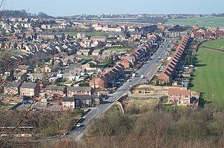
Hemingfield is a village in the metropolitan borough of Barnsley, South Yorkshire, England. The village falls within the Hoyland Milton Ward of Barnsley Metropolitan Borough Council. The village has two pubs, The Albion and The Elephant & Castle, as well as a post office and The Ellis CofE Primary School. Notable organisations, past and present, include Hemingfield Action Group (HAG) and Albion AFC.

Aldfield is a village and civil parish in the former Harrogate district of North Yorkshire, England, about three miles west of Ripon. It is the closest village to Fountains Abbey and became part of the abbey estate in 1356. The population of the parish was estimated at 80 in 2013. The parish now shares a grouped parish council with the civil parishes of Studley Roger and Lindrick with Studley Royal and Fountains, known as Fountains Abbey Parish Council.

Blackrod is a town and civil parish situated within the Metropolitan Borough of Bolton in Greater Manchester, England. Nestled in the historic County of Lancashire, Blackrod is positioned 3.9 miles (6.3 km) northeast of Wigan and 6.6 miles (10.6 km) west of Bolton. According to the United Kingdom Census of 2021, the town has a population of 5,345.

Rishton is a town in the Hyndburn district of Lancashire, England, about 2 miles (3 km) west of Clayton-le-Moors and 4 miles (6 km) north east of Blackburn. It was an urban district from about 1894 to 1974. The population at the census of 2011 was 6,625.

Dalton is a village and civil parish in North Yorkshire in England. Dalton is situated about six miles north-west of Richmond and about five miles south-east of Barnard Castle, close to the A66 trans-Pennine trunk road. It was listed in the Domesday book. The Dalton parish boundary includes the village itself as well the houses at Dalton Heights plus numerous surrounding farms. The population of the parish was 147 according to the 2001 census, increasing to 181 at the 2011 Census.

Thurgoland is a village and civil parish in the Metropolitan Borough of Barnsley in South Yorkshire, England, on the A629 road. According to the 2001 census the parish had a population of 1,801, increasing to 1,969 at the 2011 Census.

Flockton is a village in the civil parish of Kirkburton, in Kirklees, West Yorkshire, England. It is halfway between Huddersfield and Wakefield. In 2020, the population of Flockton and Flockton Green was estimated to be 2,107.

Stella is a community in the Metropolitan Borough of Gateshead, Tyne and Wear, England. It lies on the south bank of the Tyne, about 5 miles (8 km) west of central Newcastle upon Tyne, between Blaydon and Ryton. The area includes the Stella Park housing estate, built on the grounds of a mansion of the same name.

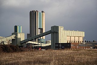
Harworth Colliery was a colliery near the town of Harworth Bircotes in Bassetlaw, Nottinghamshire, England.

Wiggenhall St Germans is a village and civil parish in the English county of Norfolk in the East of England. It is 85 miles (137 km) north of London and 5 miles (8.0 km) south-west of King's Lynn. The parish covers an area of 18.98 km2 (7.33 sq mi) and had a population of 1,373 in 554 households at the 2011 census.

Over Hulton is a suburb of Westhoughton within the Metropolitan Borough of Bolton, in Greater Manchester, England. Historically part of Lancashire, it lies 3.5 miles (5.6 km) south west of Bolton.

Smithies is an area of Barnsley in South Yorkshire, England. It lies about two miles north-east of the town centre.


