
Belair is a suburb in the south eastern foothills of Adelaide, South Australia at the base of the Mount Lofty Ranges.

Para Hills is a residential suburb of Adelaide, South Australia. There is a light aircraft airport close to its boundary, and numerous sporting facilities, abundant parks and schools and two medium-sized shopping centres. Most of the suburb is in the City of Salisbury while some is in the City of Tea Tree Gully.

Gulfview Heights is a small suburb of Adelaide, South Australia and is within the City of Salisbury and City of Tea Tree Gully local government area. It is adjacent to Wynn Vale, Salisbury East and Para Hills.
Wynn Vale is an outer north-eastern suburb of Adelaide, South Australia and is located within the City of Tea Tree Gully local government area. It is adjacent to Golden Grove, Modbury Heights, Surrey Downs, Salisbury East and Para Hills. It is located approximately 20 km north-east of the city of Adelaide.

Broadview is a suburb of Adelaide, South Australia. It is located in the City of Port Adelaide Enfield and the City of Prospect.
Gould Creek is an outer northeastern rural suburb of Adelaide, South Australia. Gould Creek is located in the City of Tea Tree Gully and City of Playford local government areas, and is adjacent to Greenwith, Salisbury Heights and Hillbank, as well as the rural districts of Yatala Vale and Upper Hermitage and the town of One Tree Hill.
Salisbury East is a suburb of Adelaide, South Australia, located 20 kilometres north of the Adelaide CBD. The residential part of the suburb is in the local government area (LGA) of the City of Salisbury, however the eastern part of the Cobbler Creek Recreation Park is in the boundaries of the City of Tea Tree Gully.

Valley View is a suburb of Adelaide, South Australia. It spans three separate local government areas. They are the City of Salisbury, the City of Port Adelaide Enfield, and the City of Tea Tree Gully. The suburb's boundaries are defined by the intersection of Walkleys, Grand Junction and North East Roads in the south, and Wright and Kelly Roads in the north and east.

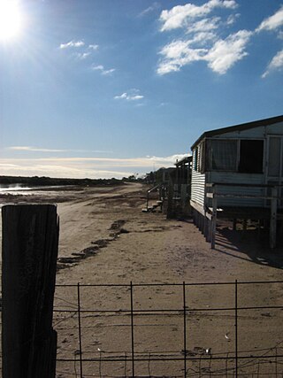
St Kilda is a coastal township, now classed as a suburb, 21 kilometres north-north-west of the centre of Adelaide, capital city of South Australia. With a population below 100 and a sole 4-kilometre (2.5-mile) road connecting to the nearest highway, its natural and built resources have remained relatively undisturbed. The seafront, containing a large area of mangroves, faces the Barker Inlet, which is part of the Port River estuarine area. St Kilda is an internationally recognised bird-watching area: more than 100 species of birds feed in and around the mudflats, salt lagoons, mangroves and seagrass beds.

Burton is a small residential suburb approximately 21 kilometres north of the CBD of Adelaide, South Australia. It is located five km north-west of Salisbury in the flat terrain of the Adelaide Plains. The suburb contains two wetland reserves, including Kaurna Park.
Middle Beach is a small town in South Australia located about 40 kilometres northwest of the Adelaide city centre in the State of Southern Australia. It is located in the Adelaide Plains Council.
Devon Park is an inner northern suburb of Adelaide, South Australia. It is located in the cities of Port Adelaide Enfield and Charles Sturt beside the Gawler railway line near, but not meeting, the intersection of Torrens Road and Churchill Road.

Allenby Gardens is a western suburb of Adelaide, South Australia. It is located in the City of Charles Sturt.

Virginia is a suburb on the rural outskirts of Adelaide, the capital city of South Australia. Port Wakefield Road, the main highway taking traffic to the north of Adelaide, passes through the area and used to pass straight through Virginia. Market gardening is the main activity there.

Clear Mountain is a rural locality in the City of Moreton Bay, Queensland, Australia. In the 2021 census, Clear Mountain had a population of 807 people.
Bolivar is an outer northern suburb of Adelaide, South Australia. It is located in the City of Salisbury.
Munno Para is a northern suburb of Adelaide, South Australia. It is located in the City of Playford.
Andrews Farm is a northern suburb of Adelaide, South Australia. It is located in the City of Playford.
Willaston is a northern suburb 39 kilometres (24 mi) northeast of the Adelaide city centre in South Australia. It is located in the Town of Gawler.

Evanston Gardens is an outer northern suburb of Adelaide, South Australia. It is located in the Town of Gawler.
