Hadab al-Fawwar | |
|---|---|
| Arabic transcription(s) | |
| • Arabic | حدب الفوّار |
 Hadab al-Fawwar Location of Hadab al-Fawwar within Palestine | |
| Coordinates: 31°28′36″N35°03′20″E / 31.47667°N 35.05556°E | |
| Palestine grid | 155/098 |
| State | State of Palestine |
| Governorate | Hebron |
| Government | |
| • Type | Village council |
| Population (2017) [1] | |
• Total | 2,354 |
| Name meaning | The hummock [2] |
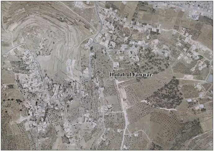
Hadab al-Fawwar (Arabic : حدب الفوّار, lit. Sparkling Slope) is a Palestinian village located seven kilometers southwest of Hebron. The village is in the Hebron Governorate Southern West Bank. According to the Palestinian Central Bureau of Statistics, the village had a population of 2,354 in 2017. [1] The primary health care facilities for the village are designated by the Ministry of Health as level 2. [3] It is adjacent to the Palestinian refugee camp of Fawwar.
