Hureiz | |
|---|---|
| Arabic transcription(s) | |
| • Arabic | حريز |
 Hureiz Location of Hureiz within Palestine | |
| Coordinates: 31°28′9″N35°7′28″E / 31.46917°N 35.12444°E | |
| Palestine grid | 163/098 |
| State | State of Palestine |
| Governorate | Hebron |
| Government | |
| • Type | Village council |
| Population (2006) | |
• Total | 997 |
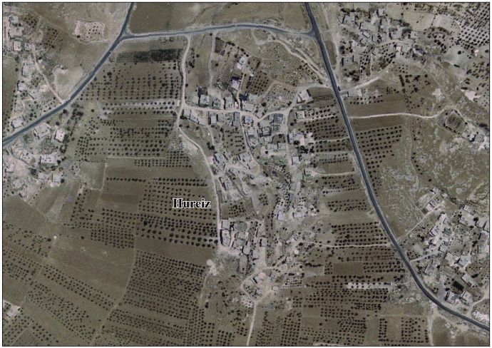
Hureiz (Arabic : حريز) is a Palestinian village located seven kilometers south-east of Hebron. The village is in the Hebron Governorate Southern West Bank. According to the Palestinian Central Bureau of Statistics, the village had a population of 997 in mid-year 2006. [1] The primary health care facilities for the village are at Zif designated by the Ministry of Health as level 1 and at Yatta, level 3. [2]
