Khalet al-Maiyya | |
|---|---|
| Arabic transcription(s) | |
| • Arabic | خلة المية |
 Khalet al-Maiyya Location of Khalet al-Maiyya and in arabic= خلة المية within Palestine | |
| Coordinates: 31°26′45″N35°08′36″E / 31.44583°N 35.14333°E | |
| State | State of Palestine |
| Governorate | Hebron |
| Government | |
| • Type | Village council |
| Population (2017) [1] | |
• Total | 2,149 |
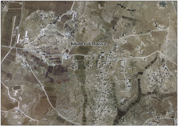
Khalet al-Maiyya خلة المية is a Palestinian village located nine kilometers south of Hebron and four kilometers west of Yatta. The village is in the Hebron Governorate Southern West Bank. According to the Palestinian Central Bureau of Statistics, the village had a population of 2,149 in 2017. [1] The primary health care facilities for the village is designated by the Ministry of Health as level 2. [2]
