Sikka سكة | |
|---|---|
| Sikka, Hebron | |
 Sikka Location of Sikka within Palestine | |
| Coordinates: 31°29′28″N34°56′39″E / 31.49111°N 34.94417°E | |
| Palestine grid | 144/100 |
| Country | |
| Governorate | Hebron Governorate |
| Elevation | 425 m (1,394 ft) |
| Population (2017) [2] | |
• Total | 914 |
| Name meaning | Kh. Sirreh, the ruin of cold [3] |
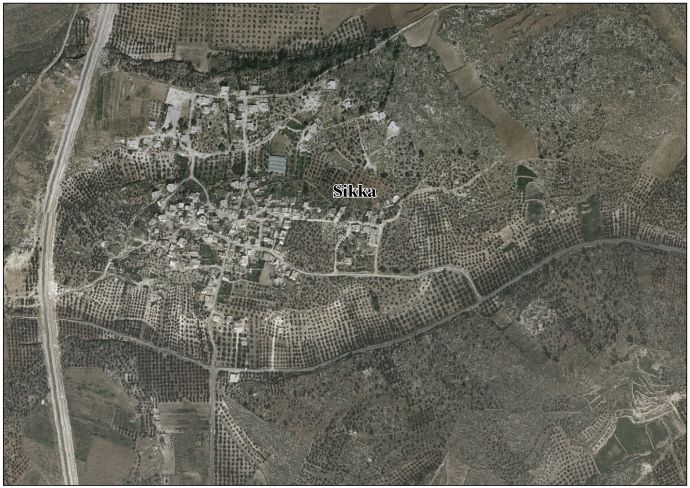
Sikka is a Palestinian village in the Dura district of the Hebron Governorate, in the south of the West Bank. [4]
