Khirbet Salama, Hebron

Last updated
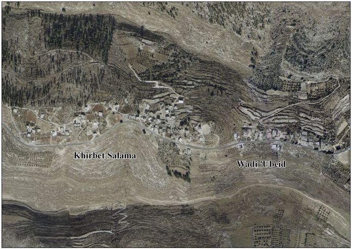
Khirbet Salama
Arabic: خربة سلامة
Khirbet Salama, Hebron
Country Flag of Palestine.svg Palestine
Governorate Hebron Governorate
Elevation
726 m (2,382 ft)
Population
 (2007)
  Total
371

Khirbet Salama is a Palestinian village located west of the city of Dura, Hebron in the Hebron Governorate, in the southern West Bank. [1] [2]

Contents

Population

In 2007, its population was approximately 371, according to the Palestinian Central Bureau of Statistics. [3] [4]

Geography

Its elevation is approximately 726 meters above sea level. It is bordered to the north by the lands of At-Tabaqa, to the east by Khursa, to the south as-Sura, and to the west by Fuqeiqis. [5]

See also

References

  1. "Khirbet Salama and Wadi 'Ubeid Village Profile" (PDF). vprofile.arij.org. 2010. Retrieved August 29, 2025.
  2. "Distribution of Localities in Hebron Governorate by Availability of Infrastructure Services, 2015". www.pcbs.gov.ps. Retrieved 2025-08-29.
  3. "Documents". pcbs.gov.ps. Retrieved 2025-08-29.
  4. "2023". www.elections.ps.
  5. "Wayback Machine" (PDF). www.elections.ps. Archived from the original (PDF) on 2022-03-09. Retrieved 2025-08-29.