ar-Rihiya | |
---|---|
Arabic transcription(s) | |
• Arabic | ريحيا |
Location of ar-Rihiya within Palestine | |
Coordinates: 31°28′13″N35°04′30″E / 31.47028°N 35.07500°E | |
Palestine grid | 157/097 |
State | State of Palestine |
Governorate | Hebron |
Government | |
• Type | Village council |
Population (2017) [1] | |
• Total | 5,754 |
Name meaning | Possibly "The coiled-up snake" [2] |
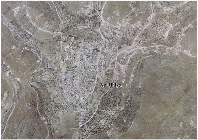
Ar-Rihiya (Arabic : ريحيا) is a Palestinian town located six kilometers southwest of Hebron. The town is in the Hebron Governorate southern West Bank. According to the Palestinian Central Bureau of Statistics, the town had a population of over 5,754 in 2017. [1]
Ceramics from the Byzantine era have been found here. [3]
Oral tradition suggests that Ar-Rihiya was founded after the 16th century.. [4] The village likely originated in the 19th century, founded by Kurds from Tubas who grazed their herds in the vicinity. Before the establishment of the village, they dwelled in nearby caves. [5]
French explorer Victor Guérin visited the place in 1863, which he called Khirbet el-Harayeh. Local fellahins inhabited ancient underground storage areas. [6]
In 1883, the PEF's Survey of Western Palestine described the place as being a "large ruin with caves and cisterns, appears to be an ancient site". [7]
In the 1922 census of Palestine conducted by the British Mandate authorities, 'Al Rihiyeh had a population 231 inhabitants, all Muslims. [8] This had increased slightly at the time of the 1931 census to 243 Muslims, in 38 inhabited houses. [9]
In the 1945 statistics the population of Ar-Rihiya was 330 Muslims, [10] who owned 2,659 dunams of land according to an official land and population survey. [11] 136 dunams were plantations and irrigable land, 1,093 for cereals, [12] while 25 dunams were built-up (urban) land. [13]
In the wake of the 1948 Arab–Israeli War, and after the 1949 Armistice Agreements, Ar-Rihiya came under Jordanian rule. It was annexed by Jordan in 1950.
In 1961, the population of Rihiya was 555. [14]
Since the Six-Day War in 1967, Ar-Rihiya has been under Israeli occupation.
Husan is a Palestinian town located 9 km (5.6 mi) west of Bethlehem, in the Bethlehem Governorate. According to the Palestinian Central Bureau of Statistics, Husan had a population of 7,048 in 2017.
Surif is a Palestinian City in the Hebron Governorate located 25 km northwest of the city of Hebron. According to the Palestinian Central Bureau of Statistics census, Surif had a population of 17,287 in 2017. The population is entirely Muslim.
Ash-Shuyukh or al-Shuyukh is a Palestinian town in the Hebron Governorate of the State of Palestine, located 6 km northeast of the city of Hebron. According to the Palestinian Central Bureau of Statistics, Ash-Shuyukh had a population of 12,052 in 2017.
Idna or Idhna is a Palestinian town in the southern West Bank, located in the Hebron Governorate of the State of Palestine, 13 kilometers west of Hebron and about one kilometer east of the Green Line. According to the Palestinian Central Bureau of Statistics, the town had a population of 26,009 inhabitants in 2017.
Beit Ula, Beit Aula, is a Palestinian town in the Hebron Governorate of the State of Palestine, located ten kilometers northwest of Hebron, in the southern West Bank.
Dura al-Qar' or Dura al-Qari'a is a Palestinian town in the central West Bank, part of the Ramallah and al-Bireh Governorate. According to the Palestinian Central Bureau of Statistics, Dura al-Qar' had a population of 3,032 inhabitants in 2017.
Beit Kahil is a Palestinian village in the Hebron Governorate in the southern West Bank, located seven kilometers northwest of Hebron. The village had a population of 8,880 in 2017.
Jab'a is a Palestinian village in the central West Bank, located 17 kilometers north of Hebron and 15 kilometers southwest of Bethlehem. Located three kilometers east of the Green Line, it is located in the Seam Zone, surrounded by the Israeli settlements in the Gush Etzion Regional Council and the Israeli West Bank barrier.
Kharbatha al-Misbah is a Palestinian town in the central West Bank, located 12.5 kilometers (7.8 mi) west of Ramallah in the Ramallah and al-Bireh Governorate. According to the Palestinian Central Bureau of Statistics, the town had a population of 6,366 in 2017. It has a total land area of 4,431 dunams, of which 644 are built-up areas and the remainder agricultural lands and forests.
Beit Sira is a Palestinian village in the central West Bank, located 22 kilometers west of Ramallah and is a part of the Ramallah and al-Bireh Governorate. The village is situated along the Green Line. During the 1948 Arab-Israeli War, around 4,000 dunams of its land became a part of the "No-Man's Land" strip between the north-central West Bank and Israel. Currently Beit Sira's jurisdiction is 3,120 dunams, of which 441 dunams are built-up areas and the remainder is open spaces for future construction or agricultural land.
Rujeib is a Palestinian town in the Nablus Governorate of the State of Palestine, in the northern West Bank, located 3 kilometers southeast of Nablus. According to the Palestinian Central Bureau of Statistics (PCBS), the town had a population of 5,964 inhabitants in 2017.
Kharas is a Palestinian town in the southern State of Palestine, located twelve kilometers northwest of Hebron, part of the Hebron Governorate. According to the Palestinian Central Bureau of Statistics, the town had a population of 9,139 inhabitants in 2017. It is situated at the northern mouth of the Wadi ’Arab near the ruins of 'Elah. Nearby towns include Nuba and Beit Ula to the south, Surif to the north and Halhul to the east. It has a total land area of 6,781 dunams.
Deir Abu Da'if is a Palestinian village in the West Bank, located 6 km east of the city of Jenin in the northern West Bank. According to the Palestinian Central Bureau of Statistics, the town had a population of 5,293 inhabitants in mid-year 2006 and 7,045 in 2017.
Tarqumiyah is a city located 12 kilometers northwest of Hebron, in the southern West Bank, in the Hebron Governorate in the State of Palestine. The city had a population of 19,311 in 2017.
Taffuh is a Palestinian town located eight kilometers west of Hebron.The town is in the Hebron Governorate in the southern West Bank. According to the Palestinian Central Bureau of Statistics, the town had a population of 15,800 in 2017.
Sa'ir is a Palestinian town in the Hebron Governorate of the State of Palestine, in the southern West Bank, located 8 kilometers (5.0 mi) northeast of Hebron. Nearby localities include Beit Fajjar and al-Arroub to the north, Beit Ummar to the northwest, Halhul to the west and Beit Einun and ash-Shuyukh to the south. The Dead Sea is just east of Sa'ir's municipal borders. In the 2017 census Palestinian Central Bureau of Statistics, the town had a population of 20,722.
Nuba is a Palestinian village located eleven kilometers north-west of Hebron.The village is in the Hebron Governorate of the State of Palestine, in the southern West Bank. According to the Palestinian Central Bureau of Statistics, the village had a population of 5,631 in 2017.
Burham is a Palestinian village in the Ramallah and al-Bireh Governorate located twelve kilometers north of Ramallah. The largest nearby town is Bir Zeit located to the southeast. The average elevation of Burham is 680 meters above sea level. The village was established during the Byzantine Empire rule over Palestine.
Abu Shukheidim was a Palestinian village in the Ramallah and al-Bireh Governorate.
Shabtin is a Palestinian village in the Ramallah and al-Bireh Governorate of the State of Palestine, in the central West Bank.