
Surrey is a ceremonial county in South East England and one of the home counties. It is bordered by Greater London to the northeast, Kent to the east, East and West Sussex to the south, and Hampshire and Berkshire to the west. The largest settlement is Woking.
Send is a village and civil parish in the Guildford borough of the English county of Surrey. The name is thought to mean "sandy place" and sand was extracted at various periods until the 1990s at pits in the outskirts of the parish.

Chobham is a village and civil parish in the Borough of Surrey Heath in Surrey, England.
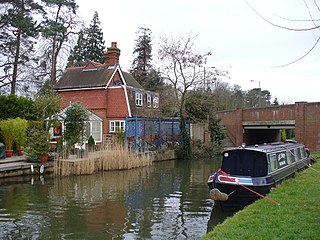
Pyrford is a village in the borough of Woking in Surrey, England. It is on the left bank of the River Wey, around two miles east of the town of Woking and just south of West Byfleet; the M25 motorway is northeast of the edge of the former parish.

Sir Alec Victor Bedser was an English professional cricketer, primarily a medium-fast bowler. He is widely regarded as one of the best English cricketers of the 20th century.
Eric Arthur Bedser was a cricketer who played for Surrey County Cricket Club. He was the elder identical twin brother of Alec Bedser (1918–2010), widely regarded as one of England's top bowlers of the 20th century. Eric was an all-rounder, a useful right-handed batsman and right-arm off-spin bowler.

Brookwood is a village in Surrey, England, about 3+1⁄2 miles (5.6 km) west of Woking, with a mixture of semi-rural, woodland-set and archetypal suburban residential homes. It lies on the western border of the Woking Borough, with a small part of the village in Guildford Borough. As part of the 2016 boundary review, Brookwood became part of the Heathlands ward which comprises Brookwood, Bridley, Hook Heath, Mayford, Sutton Green and Barnsbury and Wych Hill.

Addlestone is a town in Surrey, England. It is located approximately 18+1⁄2 miles southwest of London. The town is the administrative centre of the Borough of Runnymede, of which it is the largest settlement.

Goldsworth Park is a large housing estate to the north-west of Woking in Surrey, England. It was named after the nearby Goldsworth area which was a large 'tithing' of Woking Parish. The tithing included most of the north west of Woking, such as Brookwood, Knaphill and St. John's. It is bordered by villages such as St. John's, Knaphill and Horsell.

James Watney was an English brewer and landowner who resided at Haling Park, Croydon, and Beddington, Surrey. He was born to Daniel Watney (1771–1831) of Mitcham, Surrey and Mary Galpin (1771–1830), daughter of James Galpin of Mitcham, Surrey. He was the grandson of John Watney (1747–1814) and great-grandson of Daniel Watney (1705–1780) of Wimbledon, Surrey who was an ale conner.

Woking means"(settlement belonging to the) followers of Wocc ". Over time, the name has been written variously as, for example, Wochingas, and Wokynge.

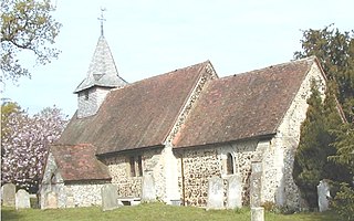
St. Andrew's Church is the parish church of Goldsworth Park, a district of Woking, Surrey, England. The church paid for and sponsors the secular local youth and community centre for Goldsworth Park, the A2 Youth and Community Centre or simply, the A2 Centre.

The River Bourne is the name given to a Thames tributary in northwest Surrey, England which has a longer tributary, the Windle Brook, that rises nears Bagshot Park in the south of Swinley Forest, Berkshire, merging with it while flowing through villages north of Woking; downstream the Bourne joins the Thames near Weybridge.

St Johns and Hook Heath is a suburban ward in Surrey consisting of two settlements founded in the 19th century in the medieval parish of Woking. The two 'villages' have residents' associations and are centred 2.5 km WSW and SW of Woking's town centre in the northwest of the English county – by including such suburbs, Woking is the largest town in the county. The ward in 2011 contained 1,888 homes across its 3.46 square kilometres (1.34 sq mi).

Horsell Common is a 355-hectare (880-acre) open space in Horsell, near Woking in Surrey. It is owned and managed by the Horsell Common Preservation Society. An area of 152 hectares is a biological Site of Special Scientific Interest and part of the Thames Basin Heaths Special Protection Area.

Woking is a town and borough in northwest Surrey, England, around 23 mi (36 km) from central London. It appears in Domesday Book as Wochinges, and its name probably derives from that of a Saxon landowner. The earliest evidence of human activity is from the Paleolithic, but the low fertility of the sandy local soils meant that the area was the least populated part of the county in 1086. Between the mid-17th and mid-19th centuries, new transport links were constructed, including the Wey Navigation, Basingstoke Canal and London to Southampton railway line. The modern town was established in the mid-1860s, as the London Necropolis Company began to sell surplus land surrounding the railway station for development.

Westfield is an area in Woking borough, Surrey. Westfield marks the southern boundary of Woking altering from English archetypal suburban homes in the north to semi-rural homes, smallholdings, small woodlands and fields in the south, where it abuts areas of London's Metropolitan Green Belt.
Canon Rev. Norman Pares was an English canon and amateur footballer who was on the winning side in the 1879 FA Cup Final.
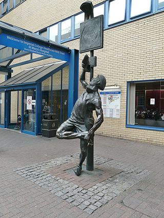
Allan Sly FRBS is an English sculptor and senior lecturer at Wimbledon College of Art, a constituent college of University of the Arts London.


