References
- ↑ U.S. Geological Survey Geographic Names Information System: Humboldt Township, Minnehaha County, South Dakota
- ↑ Chicago and North Western Railway Company (1908). A History of the Origin of the Place Names Connected with the Chicago & North Western and Chicago, St. Paul, Minneapolis & Omaha Railways. p. 179.
Municipalities and communities of Minnehaha County, South Dakota, United States | ||
|---|---|---|
| Cities | 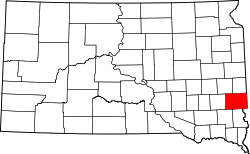 | |
| Towns | ||
| CDPs | ||
| Former cities | ||
| Other communities | ||
| Townships | ||
| Footnotes | ‡This populated place also has portions in an adjacent county or counties | |
43°38′40″N97°4′30″W / 43.64444°N 97.07500°W
| | This Minnehaha County, South Dakota location article is a stub. You can help Wikipedia by expanding it. |