
The Morbihan is a department in the administrative region of Brittany, situated in the northwest of France. It is named after the Morbihan, the enclosed sea that is the principal feature of the coastline. It had a population of 759,684 in 2019. It is noted for its Carnac stones, which predate and are more extensive than the Stonehenge monument in Wiltshire, England.

Hennebont is a commune in the Morbihan department in the region of Brittany in north-western France.

The arrondissement of Lorient is an arrondissement of France in the Morbihan department in the Brittany region. It has 58 communes. Its population is 312,063 (2016), and its area is 1,461.8 km2 (564.4 sq mi).
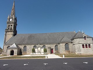
Guiscriff is a commune in the Morbihan department in Brittany in north-western France.
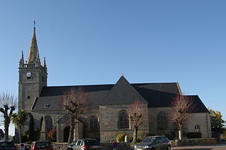
Crac'h or Krac'h in Breton is a commune in the Morbihan department of Brittany in north-western France.
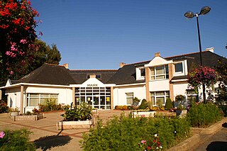
Gestel is a commune in the Morbihan department of Brittany in north-western France. Gestel station has rail connections to Quimper, Lorient and Vannes.

Kervignac is a commune in the Morbihan department of Brittany in north-western France.
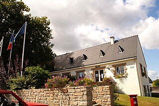
Marzan is a commune in the Morbihan department of Brittany in north-western France.
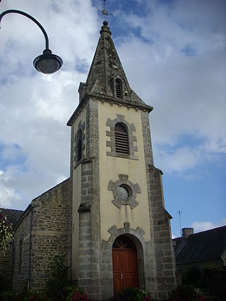
Meucon is a commune in the Morbihan department of Brittany in north-western France.
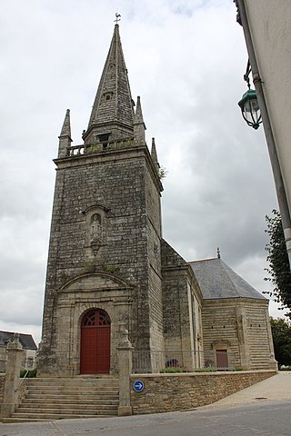
Moréac is a commune in the Morbihan department of Brittany in north-western France.

Muzillac is a commune in the Morbihan department of Brittany in north-western France. Inhabitants of Muzillac are called in French Muzillacais.
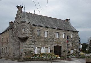
Noyal-Pontivy is a commune in the Morbihan department of Brittany in north-western France.
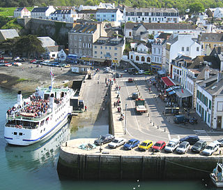
Le Palais is a commune in the Morbihan department of Brittany in northwestern France. It is one of the four communes on the island of Belle Île.

Ploërdut is a commune in the Morbihan department in Brittany in north-western France.
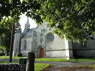
Silfiac is a commune in the Morbihan department of Brittany in north-western France.
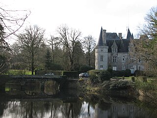
Trédion is a commune in the Morbihan department of Brittany in north-western France. The population in 2019 was 1,308. Inhabitants of Trédion are called in French Trédionais.
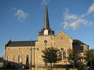
Treffléan is a commune in the Morbihan department of Brittany in north-western France.

Le Saint is a commune in the Morbihan department of Brittany in north-western France.

Saint-Guyomard is a commune in the Morbihan department of Brittany in north-western France.
Lorient Agglomération is the communauté d'agglomération, an intercommunal structure, centred on the city of Lorient. It is located in the Morbihan department, in the Brittany region, northwestern France. It was created in January 2014. Its area is 738.7 km2. Its population was 205,765 in 2020, of which 57,412 were in Lorient proper.


