Langonnet Langoned | |
|---|---|
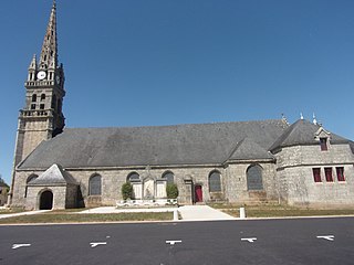
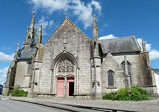
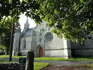
 The Church of Saint-Pierre-et-Saint-Paul, in Langonnet | |
 Coat of arms | |
Location of Langonnet  | |
 Langonnet  Langonnet | |
| Coordinates: 48°06′23″N3°29′32″W / 48.1064°N 3.4922°W | |
| Country | France |
| Region | Brittany |
| Department | Morbihan |
| Arrondissement | Pontivy |
| Canton | Gourin |
| Intercommunality | Roi Morvan Communauté |
| Government | |
| • Mayor (2020–2026) | Françoise Guillerm [1] |
| Area 1 | 85.40 km2 (32.97 sq mi) |
| Population (2021) [2] | 1,771 |
| • Density | 21/km2 (54/sq mi) |
| Time zone | UTC+01:00 (CET) |
| • Summer (DST) | UTC+02:00 (CEST) |
| INSEE/Postal code | 56100 /56630 |
| Elevation | 104–292 m (341–958 ft) |
| 1 French Land Register data, which excludes lakes, ponds, glaciers > 1 km2 (0.386 sq mi or 247 acres) and river estuaries. | |
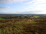
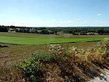
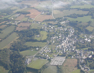
Langonnet (Breton : Langoned) is a commune in the Morbihan department of Brittany in north-western France. [3]