| Kéké | |
|---|---|
| Village | |
 Kéké Location in Mali | |
| Coordinates: 13°40′08″N4°37′59″W / 13.669°N 4.633°W Coordinates: 13°40′08″N4°37′59″W / 13.669°N 4.633°W | |
| Country | |
| Region | Mopti Region |
| Cercle | Djenné Cercle |
| Commune | Niansanarié |
| Time zone | GMT (UTC+0) |
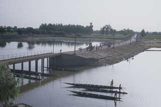
Kéké is a village and seat of the commune of Niansanarié in the Cercle of Djenné in the Mopti Region of southern-central Mali.

Niansanarie is a commune of the Cercle of Djenné in the Mopti Region of Mali. The main village (chef-lieu) is Kéké.
Djenné Cercle is an administrative subdivision of the Mopti Region of Mali. The administrative center (chef-lieu) is the town of Djenné. In the 2009 census the cercle had a population of 207,260 people.

Mopti is the fifth administrative region of Mali, covering 79,017 km2. Its capital is the city of Mopti. During the 2012 Northern Mali conflict, the frontier between Southern Mali which is controlled by the central government and the rebel-held North ran through Mopti Region.

| This Mopti Region location article is a stub. You can help Wikipedia by expanding it. |